The 2020 Atlantic hurricane season set another record this month, and this one might be the most impressive - and unsettling - yet.
Hurricane Delta's landfall in Louisiana in early October meant the U.S. experienced its 10th landfall from a tropical system so far this season, breaking the old record of nine U.S. landfalls in a single season from 1916.
Hurricane Zeta's landfall in late October made it 11, tacking on to the existing record.
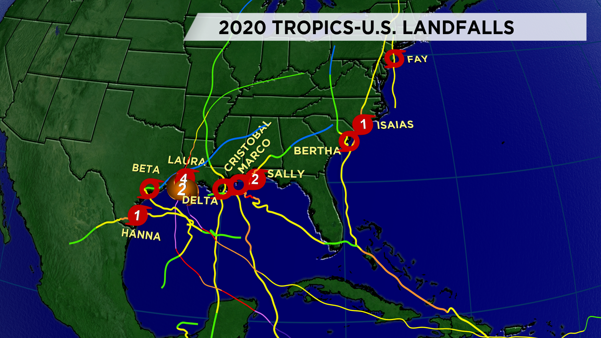
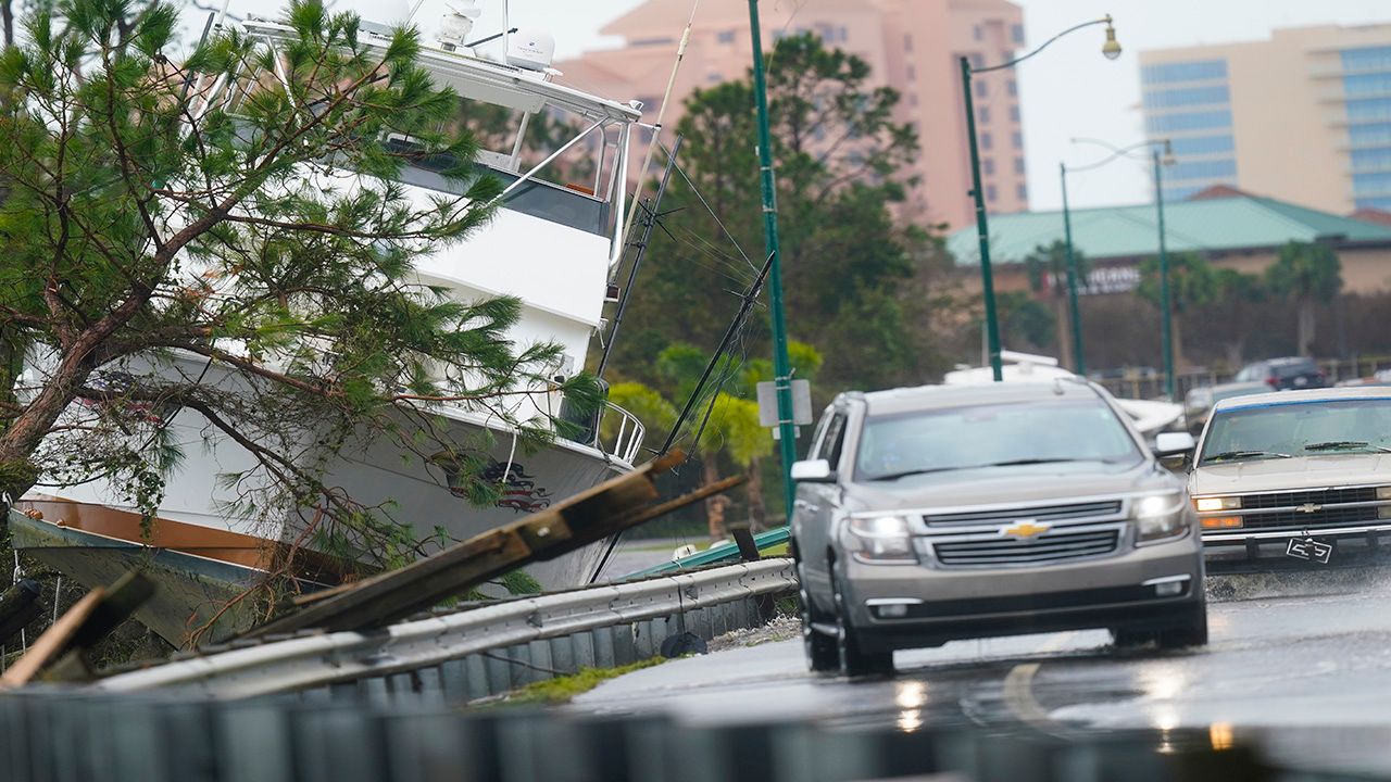
From Isaias to Laura to Delta, several of these storms led to big impacts across the U.S.
Perhaps the only sliver of good news from this new record is that only five of those 10 storms were hurricanes at landfall, and you might not even remember some of these systems.
Here's a look back at the 11 storms to make landfall on the U.S. so far in the 2020 Atlantic season:
Forming just a few days before the Atlantic hurricane season officially started, Bertha formed just off the South Carolina coastline in late May.
Just a few hours after the National Hurricane Center named Bertha, it made landfall on South Carolina with maximum sustained winds of about 50 mph.
Heavy rain, gusty winds and even a tornado accompanied Bertha as it moved through the Carolinas.
Cristobal actually formed from the remnants of an Eastern Pacific storm (Amanda), and re-formed off the eastern Mexican coastline and tracked north through the Gulf of Mexico.
Cristobal brought heavy rain and punishing surf to the northern Gulf Coast, zipping along parallel to the Mississippi River after it initially made landfall over southeastern Louisiana.
The storm also broke a record: It didn't weaken to an extratropical cyclone until it was over southern Wisconsin, making Cristobal the farthest north a tropical system has ever tracked in the United States.
A month after Cristobal, Fay formed in June and became the earliest sixth-named storm ever recorded in the Atlantic. Developing off the mid-Atlantic coastline, Fay slammed into New Jersey on July 10, leading to floods and power outages for New Jersey and Pennsylvania in particular.
Philadelphia and New York both saw significant impacts (mainly in the form of flooding) from the storm. Fay eventually dissipated over southern Canada on July 11.

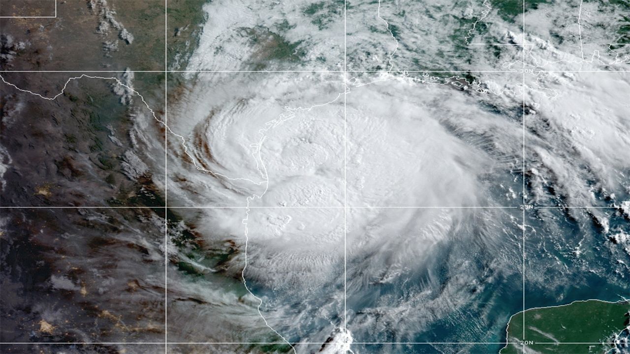
The first hurricane of the 2020 Atlantic season, Hanna developed over the Gulf of Mexico and made two landfalls over far southern Texas on July 25.
Hanna made landfall as a Category 1 hurricane, though heavy rain ultimately became the big story with this storm. Flooding from Hanna led to three fatalities in northern Mexico.
This might be the first storm you remember from this season, and not just because of its unique name. Isaias made the long journey across the Atlantic, slowly strengthening into a Category 1 storm over the southern Bahamas.
After threatening south Florida for several days, Isaias managed to hook north and away from the Sunshine State - but the threat with this storm was far from over.
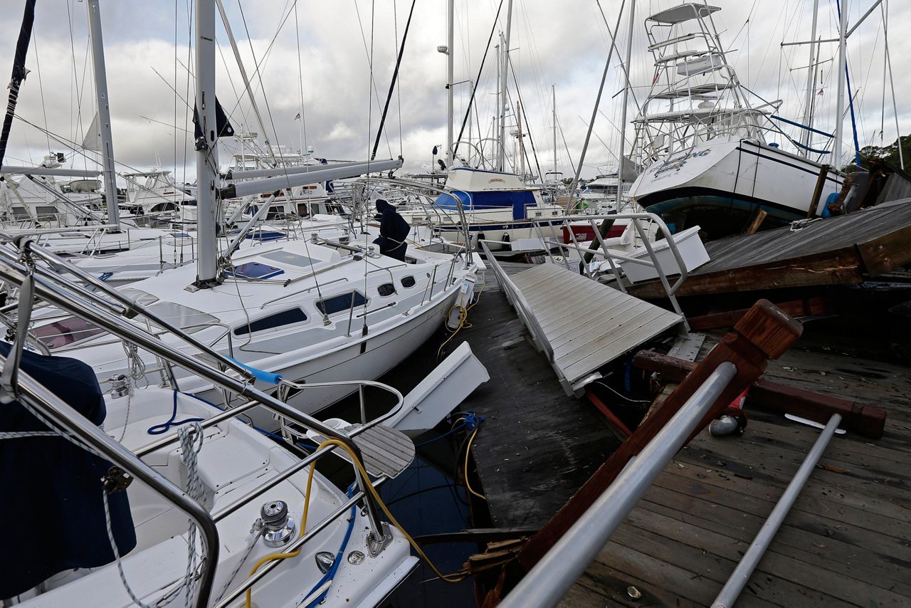
This storm will probably earn a special place in the memories of the Northeast, where Isaias brought devastating winds that gusted to nearly 80 mph in New York City. More than three million people lost power during the storm, most of those in New England and the Mid-Atlantic.
Nearly 40 tornadoes also touched down during Isaias, including an exceptionally rare EF-3 that killed two people in eastern North Carolina.
Isaias became the strongest tropical system to impact the Northeast since Sandy in 2012.
Just a few weeks after Isaias, Laura slammed into southwestern Louisiana as a Category 4 hurricane, the strongest hurricane at landfall in the state since 1851.
Unfortunately, the dire forecasts ahead of the storm largely panned out. Measured winds exceeded 130 mph in southwestern Louisiana, and storm surge topped 10 feet in spots. That led to widespread flooding and devastation, with Lake Charles especially hard-hit.
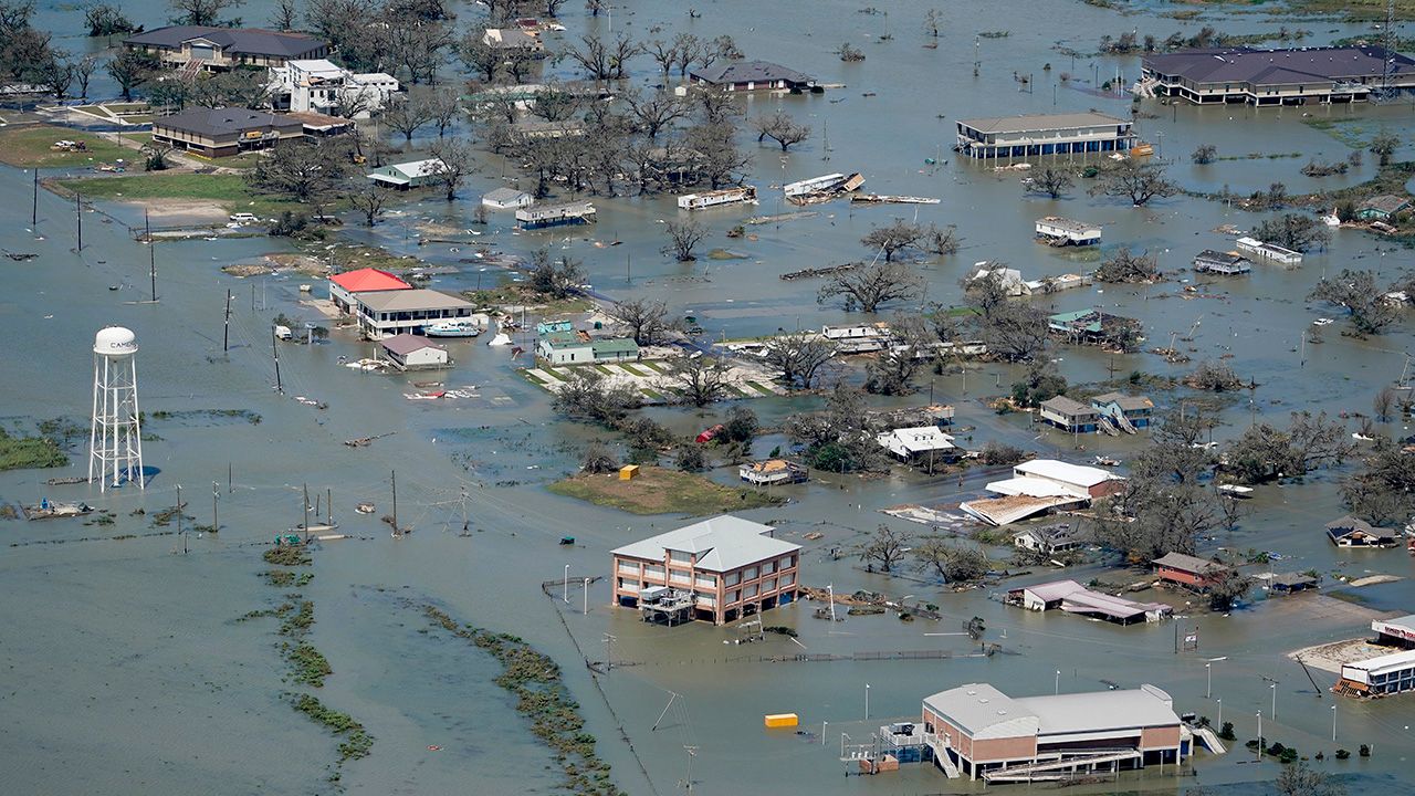
While the storm quickly weakened as it raced inland, the cleanup from Laura, unfortunately, continues.
Remember when it looked like Laura could partake in an exceptionally rare Gulf of Mexico Fujiwhara effect dance?
While that (fortunately) didn't quite pan out, Marco did make landfall on far southeastern Louisiana as a weak tropical storm, barely hanging on after getting battered by wind shear during a nearly week-long trek through the Gulf of Mexico.
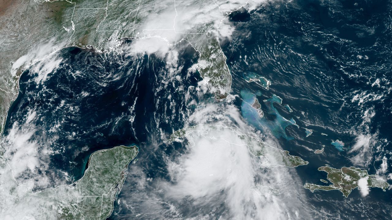
Fortunately, there wasn't much to report from this storm, though at one point it looked formidable as a hurricane over the central Gulf of Mexico.
While Isaias and Laura generally zipped through their affected regions, Sally will go down a slow-moving slog of a storm.
First forming as a tropical storm near the Bahamas, Sally moved through central and south Florida, bringing bands of heavy rain and gusty winds before re-emerging over the northeastern Gulf of Mexico.
Then, it stopped moving.
Sally essentially parked just south of the Mississippi and Alabama coastlines, sitting and stirring up prolific rain and generating a prolonged storm surge event.
While it sat, the storm continued to strengthen, feeding off toasty Gulf of Mexico sea-surface temperatures to do so. It eventually made landfall over Gulf Shores, Alabama on Sept. 15 as a Category 2 hurricane.
The result of Sally's slow movement and rapid intensification before landfall: Some parts of Florida saw over two feet of rain, and the storm's surge permanently altered the geography of parts of the Florida panhandle.
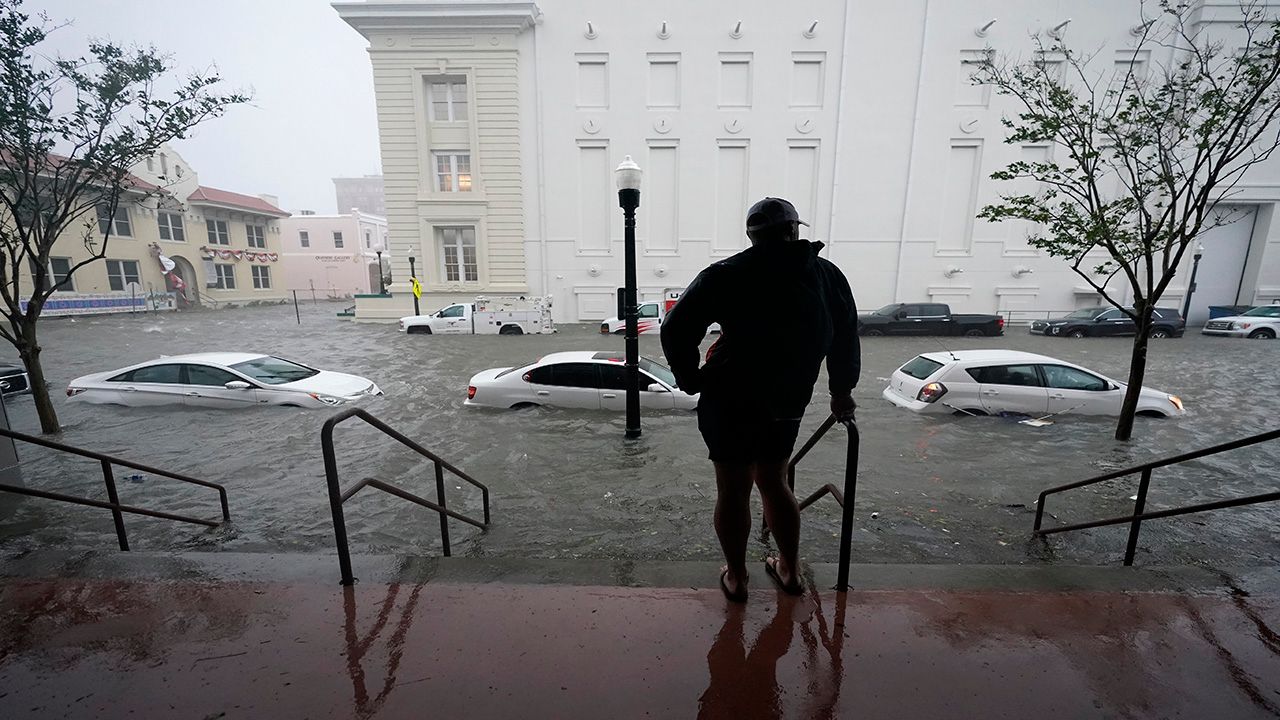
Similar to Sally, Beta was a slog of a storm.
While not nearly as strong as Sally or most of the storms on this list - Beta's maximum sustained winds were only 45 mph at landfall near Matagorda Bay, Texas - it created big flooding issues around the Houston area.
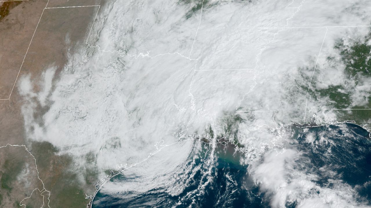
Prolific rainfall led to parts of Houston picking up nearly a foot of rain, leading to one flooding-related fatality.
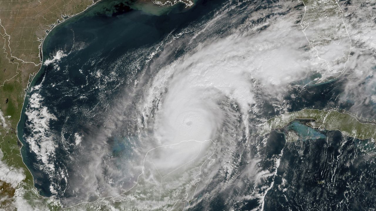
Just a few weeks after Hurricane Laura devastated the region, Hurricane Delta lashed southwestern Louisiana and far southeastern Texas with heavy rain and strong winds once again.
The storm made landfall near Cameron, Louisiana on Oct. 9, just a few miles from where Laura made landfall in late August.
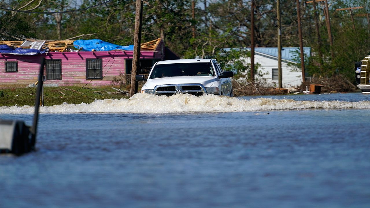
Delta also vaulted the 2020 Atlantic hurricane season into the record books, becoming the 10th-named storm to make landfall on the U.S. and breaking the old record of nine from 1916. It also became the first hurricane with a Greek name to ever make landfall on the United States.
And hopefully, last but not least, Hurricane Zeta lashed the Louisiana coastline as a high-end Category 2 hurricane, making landfall on Oct. 28 in southeastern Louisiana.
The storm brought heavy rain and strong storm surge, and wind gusts exceeded 100 mph as Zeta made landfall.
It also marked the fifth storm to make landfall on Louisiana alone this season - smashing the old record of three storms in one tropical year.
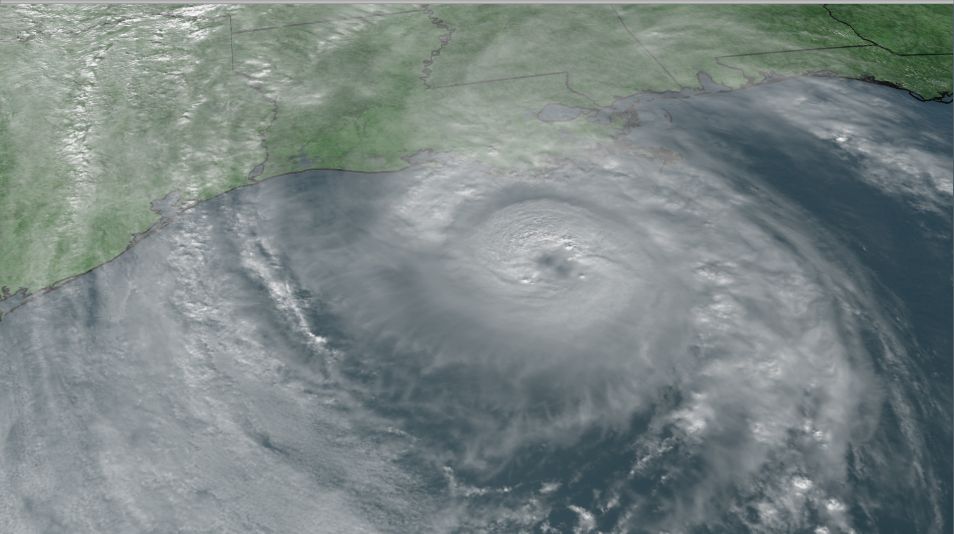
Hurricane season - mercifully - ends on Nov. 30, although storms can still develop after that date.


