Sally brought devastating impacts to cities along the Gulf coast and continues to bring impacts to the Southeast.
Sally first formed as a low pressure system off the southeast coast of Florida and tracked west. It became a depression on the southwest coast of Florida and curved northward where it intensified into a hurricane.
Sally became the earliest named S-storm to form in the Atlantic in recorded history.
It then made landfall as a Category 2 hurricane near Gulf Shores, Alabama early Wednesday morning.
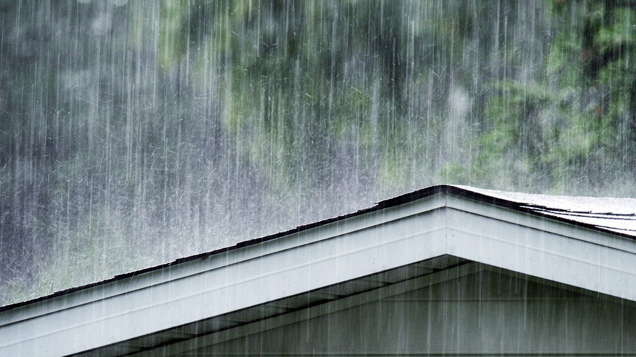
Extremely high winds first hit the cities along the Gulf, and then torrential rainfall moved in. Rainfall totals measured in feet.
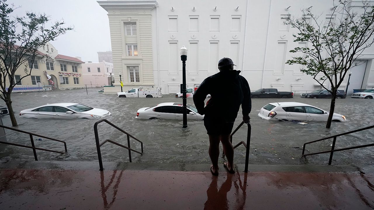
Flash flooding took place, and many homes and vehicles were inundated by the flood waters.

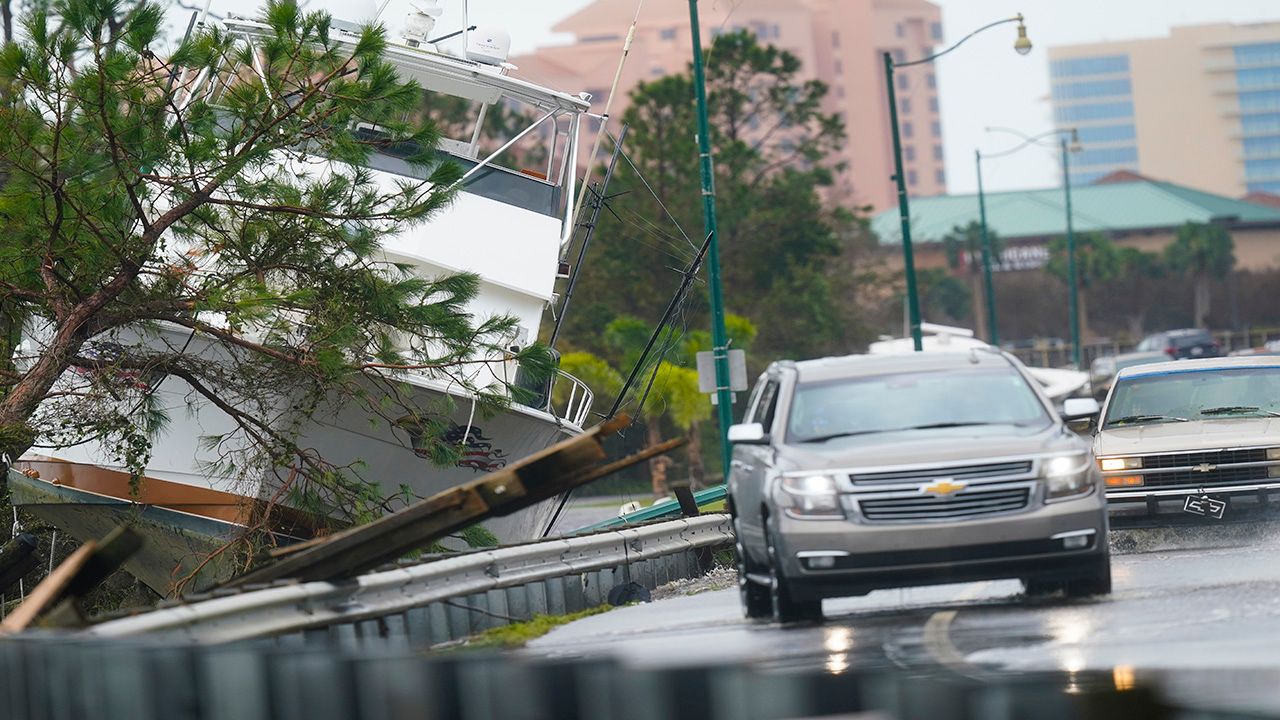
Many boats were washed up on shore and became road hazards.


