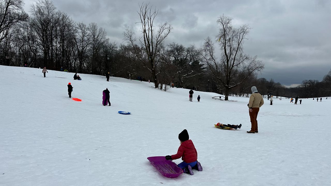
There's no question that snow is certainly lacking this winter. We're about halfway through the season, but the Big Apple still has yet to receive any measurable snow, seeing only a trace as of this morning (Jan. 25).
Despite being in the middle of a nearly snowless winter so far, there's still time for the pattern to change. Another winter storm will approach the region today, but the odds of seeing accumulating snow from it in New York City continue to decrease.
While parts of upstate New York saw record-breaking snow following a series of lake-effect events, the other side of the state can argue the opposite. Snow continues to be a no-show for New York City, even with a relatively active weather pattern- and that will be the case with this next storm system.
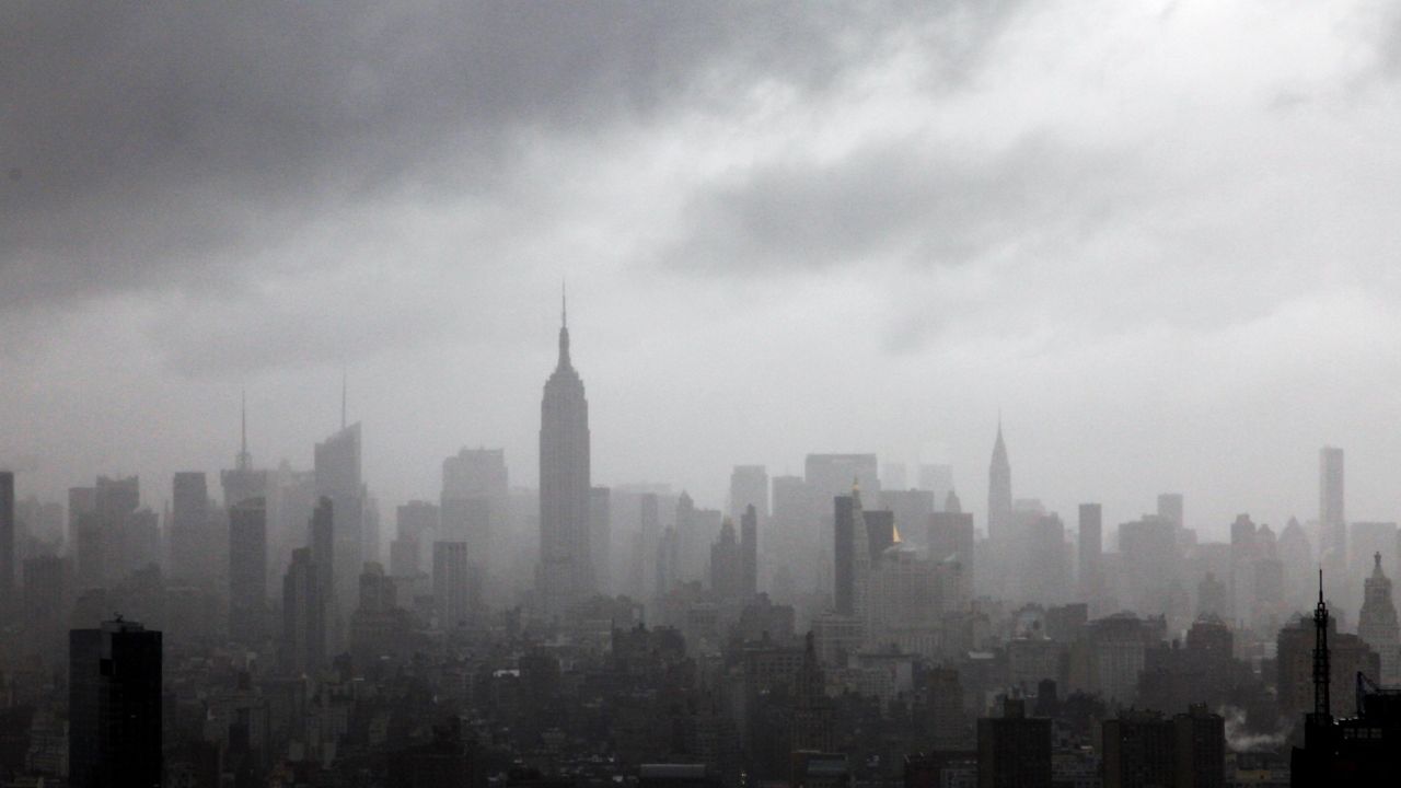
A few flakes fell last weekend and a couple times in December, but it wasn't enough to be measurable. Even though the hopes were high that this next storm system would deliver, the latest model guidance keeps New York City more on the milder and rainy side of the storm.
While some snow is still expected at the onset, precipitation will change over to a wintry mix and rain more quickly than earlier forecast models suggested. As a result, this will eliminate the likelihood of getting any snow accumulations in and around the city.
Even if we see a light dusting at best, it won't last, as heavy rain this evening will quickly wash it all away. In contrast, colder spots for inland areas could still expect between 1 to 4 inches of snow before the changeover occurs. Expect the highest totals farther to the north and west.
Colder air in place today will allow for the first flakes to fall later this morning leading into the middle of the day.
As the precipitation becomes more widespread and temperatures continue to rise, milder air wrapping up from the south will prompt snow to change over to a wintry mix and then to rain later this afternoon and evening. That will still put a strain on travel during and after lunchtime.
Conditions will stay soggy through the overnight hours before this system moves out early on Thursday morning, leaving behind an additional 1 to 2 inches of rainfall.
Pockets of heavy rain at times could lead to flooding in prone places, which could hinder the morning commute on Thursday morning.
Precipitation, regardless of its form, won't be the only impact this storm brings either. It will also generate strong winds, with potential gusts reaching up to 40 mph. This could pose an issue for tree limbs as well as construction sites.
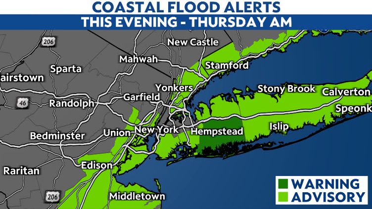
Strong onshore flow will also increase the likelihood of minor to moderate coastal flooding during times of high tide.
As a result, much of the south-facing shoreline is under a Coastal Flood Advisory this evening through early Thursday morning, with a Coastal Flood Warning in effect for southern Nassau County beaches.
Even though this storm might be considered a "let down" for those hoping to see some accumulating snow, it still won't pass us by without impacts. Thus, it is important to stay aware of the latest updates and information to stay safe.
Our meteorologists will continue to keep a close eye on the storm and provide the latest updates.
Our team of meteorologists dives deep into the science of weather and breaks down timely weather data and information. To view more weather and climate stories, check out our weather blogs section.