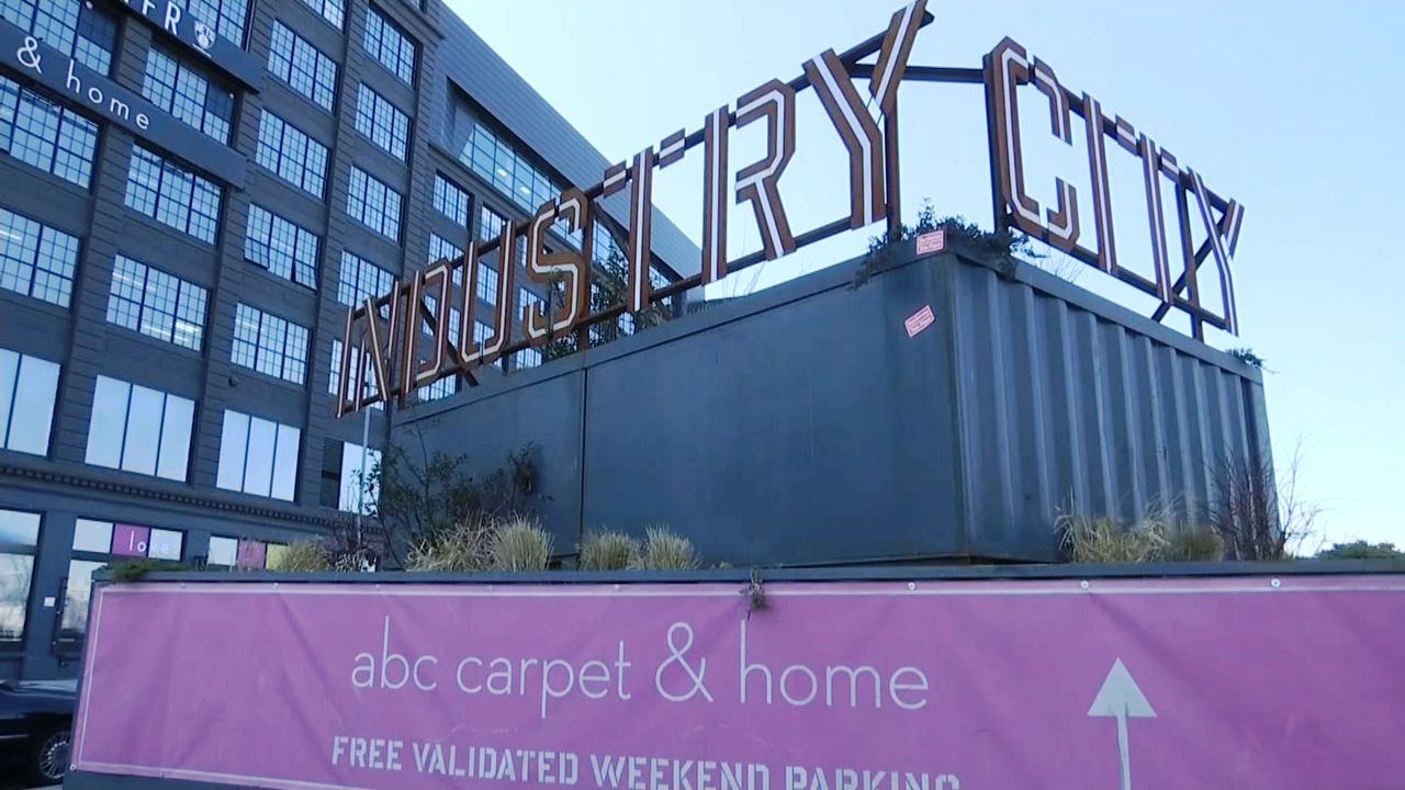
With Industry City's rezoning plan scrapped, Brooklyn residents are helping to develop the city's new waterfront plan.
Every 10 years or so the city's Department of City Planning produces a comprehensive waterfront plan that covers all five boroughs. It's mandated by City Council legislation. The last one was issued back in 2011.
Because of COVID-19, City Planning is holding workshops virtually with residents, community leaders, local groups and environmentalists.
Wednesday was Brooklyn's turn, particularly the areas of Sunset Park, Red Hook and Gowanus.
The goal is to draft a framework to make all of the city's coastal communities more equitable and resilient across all 520 miles of waterfront property.
"Through the next comprehensive waterfront plans we'll prioritize working with lower income communities and communities of color to ensure that their voices are heard and that there's a strong role in the planning process and projected,” said Michael Marrella, director of Waterfront and Open Space for NYC Department of Planning.
City Planning said the initial deadline to complete this plan is by the end of the year, but the department hopes City Council will allow an extension because of the pandemic.
For more information go to waterfrontplan.nyc.
Editors Note: An earlier version of this article misspelled the name of the director of waterfront and open space for the NYC Department of Planning. It’s Michael Marrella, not Michael Morella.


_CC_PKG_Manufacturers_Tariffs_133971722_389)


