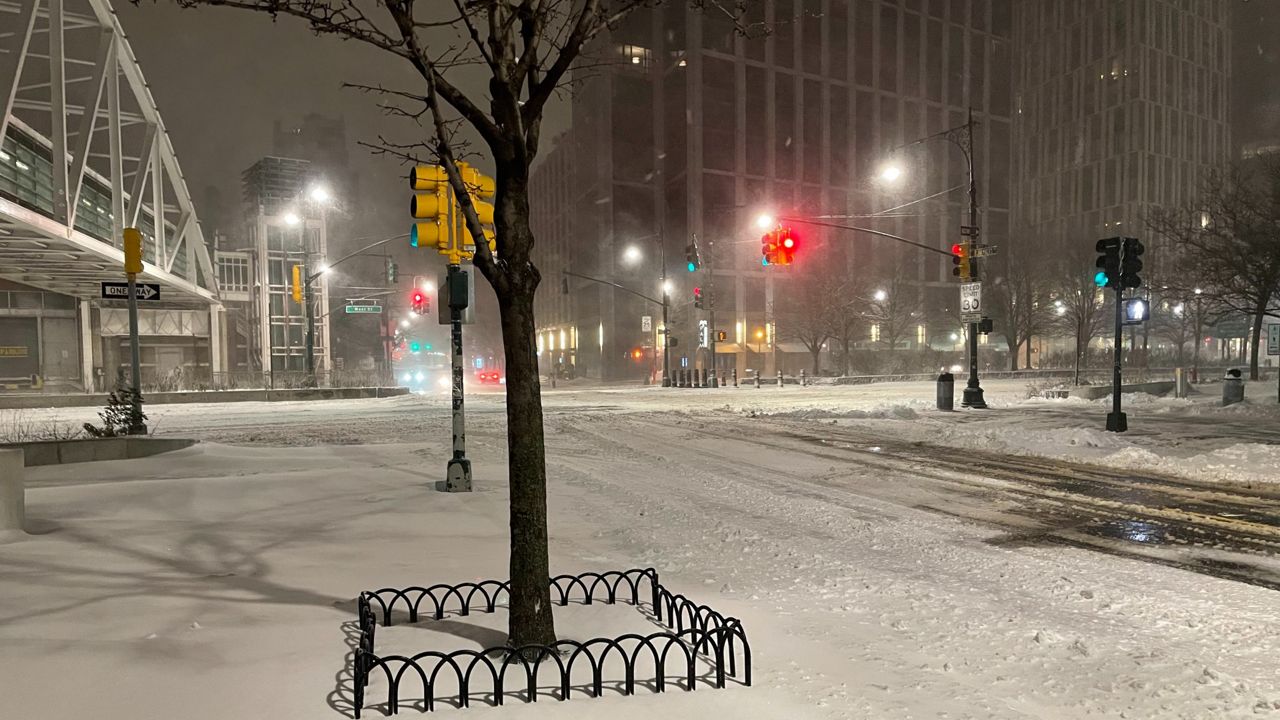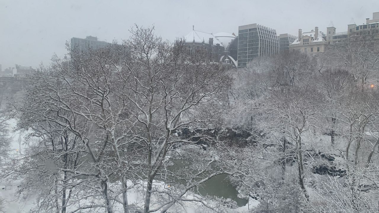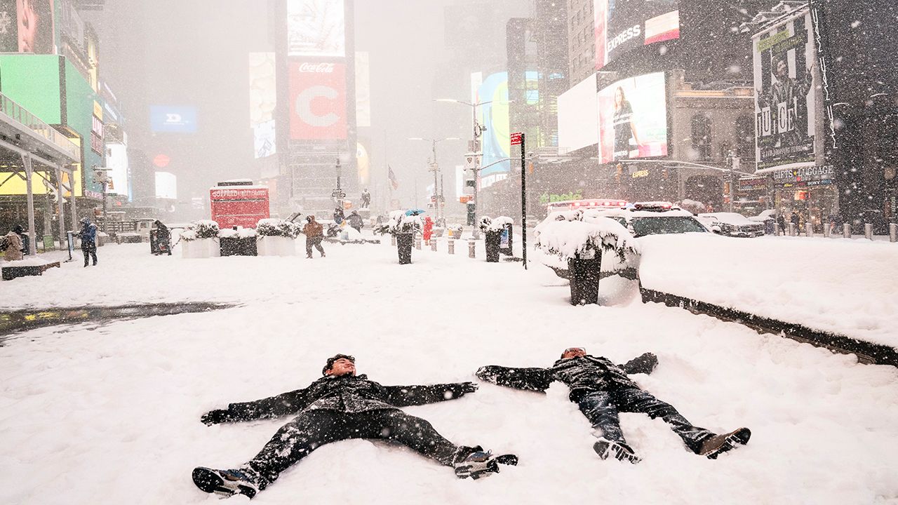
A winter storm will continue to bring heavy snowfall across parts of the Northeast on Tuesday. A south shift in the storm's track will put New York City in the path for seeing plowable snow.
With accumulations potentially reaching as much as a half-foot or more, this will be the first "big" snow event the Big Apple has seen since January 2022. Our Spectrum News 1 Weather Experts hone in on what to expect in each borough.
Winter Storm Warning (until 6 p.m. Tuesday)
Main impact: Through Tuesday afternoon
Periods of heavy snowfall through Tuesday morning.
Total snowfall: 3 to 6 inches
Winds: Gusts between 20 to 30 mph
Minor coastal flooding is possible during high tide.
Winter Storm Warning (until 6 p.m. Tuesday)
Main impact: Through Tuesday afternoon
Periods of heavy snowfall through Tuesday morning.
Total snowfall: 3 to 6 inches
Winds: Gusts between 20 to 30 mph
Minor coastal flooding is possible during high tide.
Winter Storm Warning (until 6 p.m. Tuesday)
Main impact: Through Tuesday afternoon
Periods of heavy snowfall through Tuesday morning.
Total snowfall: 3 to 6 inches
Winds: Gusts between 20 to 30 mph
Minor to moderate coastal flooding is possible during high tide.
Winter Storm Warning (until 6 p.m. Tuesday)
Main impact: Through Tuesday afternoon
Periods of heavy snowfall through Tuesday morning.
Total snowfall: 3 to 6 inches
Winds: Gusts between 20 to 30 mph
Minor coastal flooding is possible during high tide.
Winter Storm Warning (until 6 p.m. Tuesday)
Main impact: Through Tuesday afternoon
Periods of heavy snowfall through Tuesday morning.
Total snowfall: 3 to 6 inches
Winds: Gusts between 20 to 30 mph
Minor coastal flooding is possible during high tide.
Our team of meteorologists dives deep into the science of weather and breaks down timely weather data and information. To view more weather and climate stories, check out our weather blogs section.