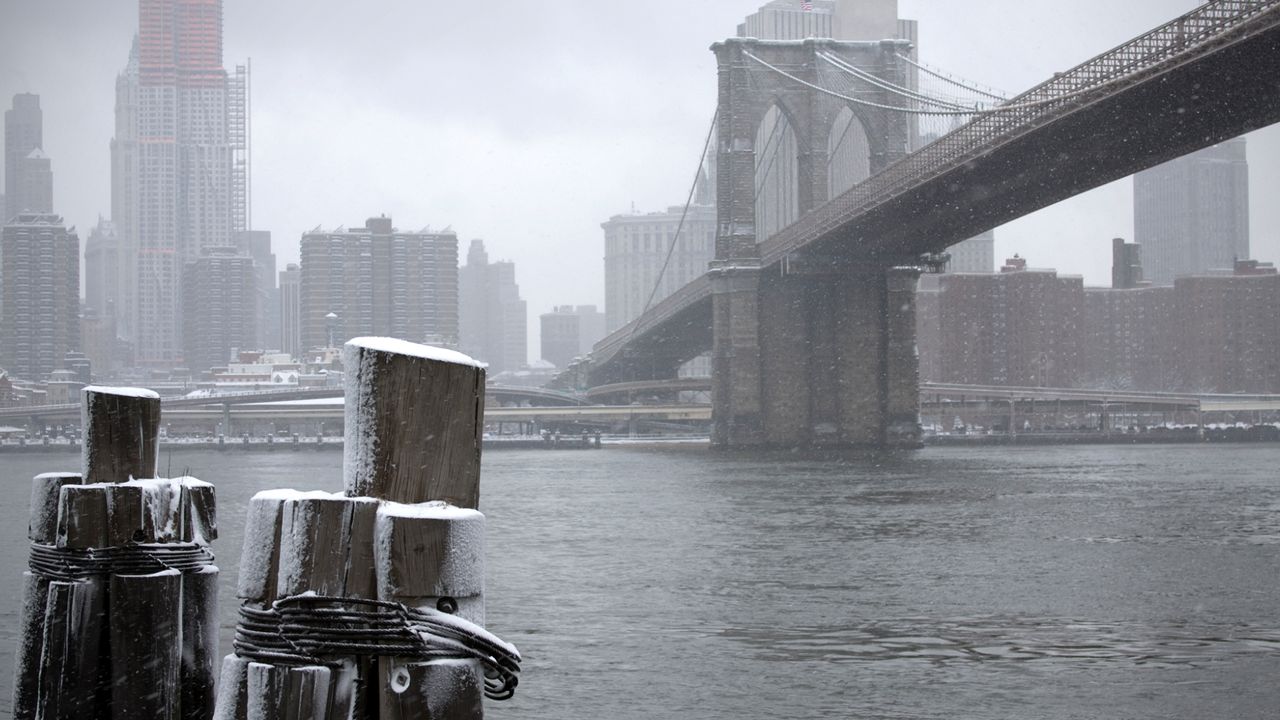
For the second time this week, we’re getting ready for snow in the city.
Winter has woken up! After taking almost two years to get one inch of snow, we’re tracking our second snow in less than a week.
Snow lovers shouldn’t get too excited. This won’t be a big event, but we will see flakes. The snow will come down lightly.
An inch or two will collect with the snow sticking to cars and grass more than the streets and sidewalks. Major travel issues aren’t expected for the roads and subways. The airports will have delays. An umbrella will likely be more useful with this storm than a snow shovel.
NYC Emergency Management has issued a travel advisory for Friday. The National Weather Service also issued a Hazardous Weather Outlook for Friday, in effect citywide.
NYC DOT has announced that alternate side parking regulations will be suspended on Friday, Jan. 19, because of potential snowfall. Parking meters will remain in effect.
Behind Friday’s light snow is another arctic air mass. Temperatures won’t get above the freezing mark until Monday. For Friday night and Saturday morning, temperatures will tumble into the teens.
Readings during the daytime on Saturday won’t get out of the of the low to mid-20s. The cold snap could freeze some of our local ponds at the parks.
People should stay off of the ice as it takes more than just a few days of cold weather to create ice thick enough to walk on. You should never go on the ice unless the parks department has marked it as safe.
Other cold weather safety tips include being careful with space heaters and not using your oven to heat your home because of the danger of carbon monoxide. Also, remember your pets. They feel the cold, just like us.
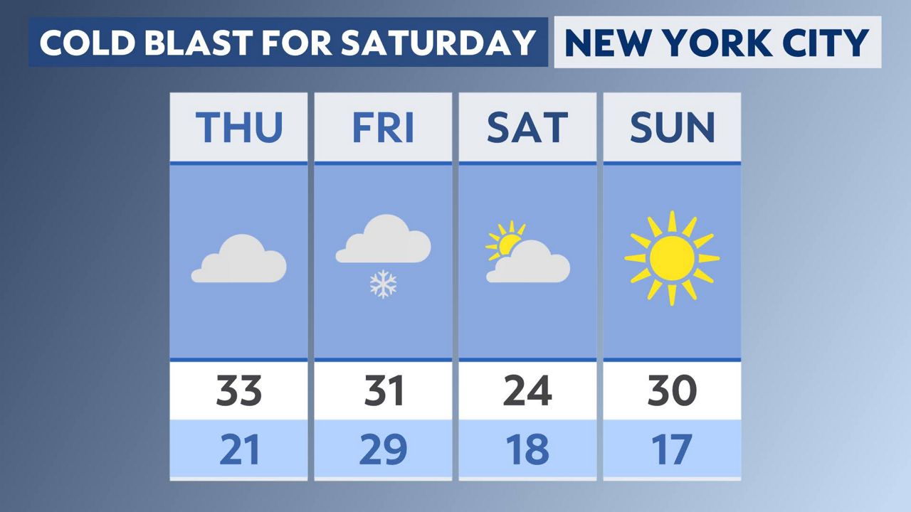
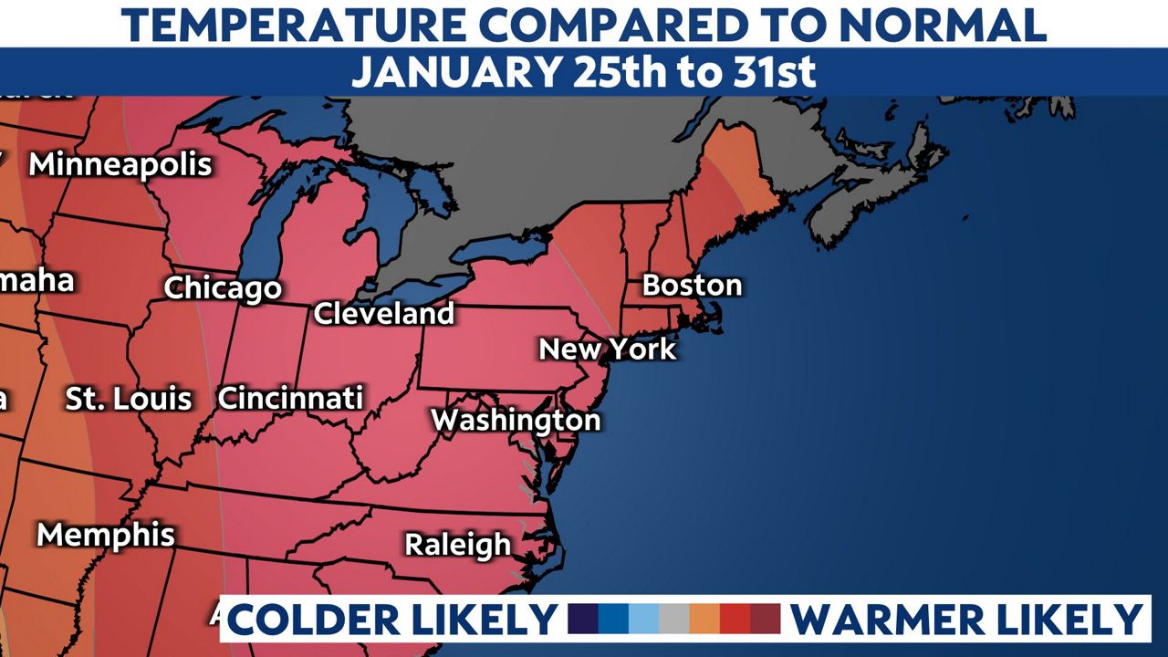
After our cold weekend, a big temperature turnaround is in store. The jet stream will shift and we’ll see readings back in the 40s by Tuesday. This warmer weather pattern is expected to linger for a while.
The 8-to-14-day outlook from the National Weather Service calls for above average temperatures for the city to last from Tuesday through the end of the month.
Our team of meteorologists dives deep into the science of weather and breaks down timely weather data and information. To view more weather and climate stories, check out our weather blogs section.


