


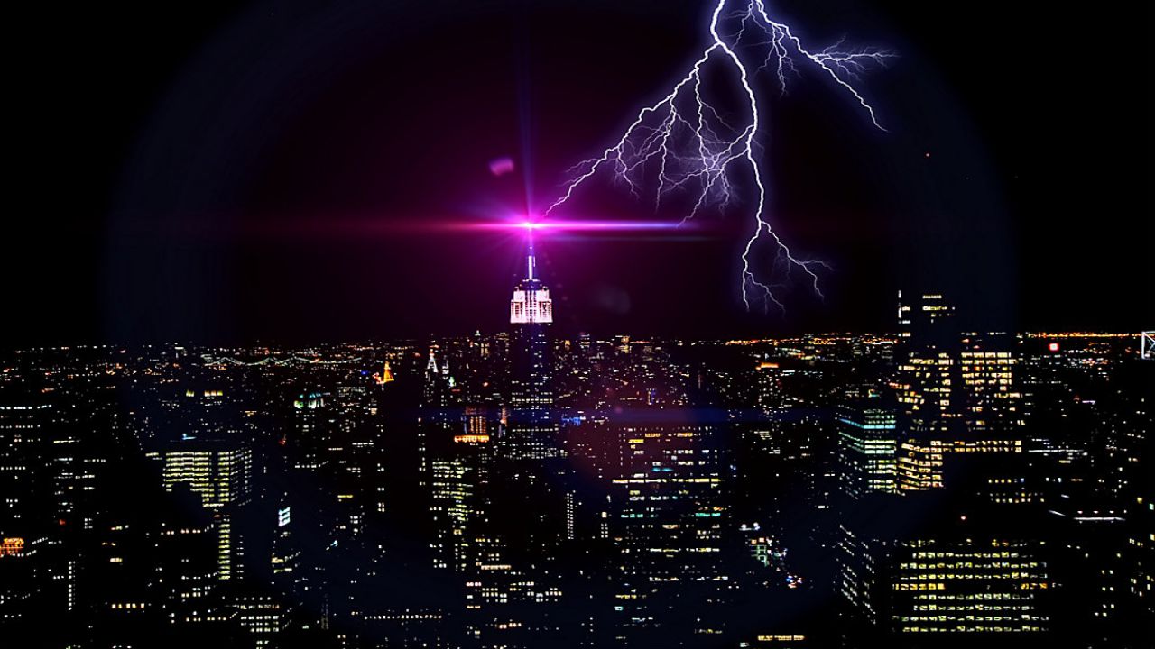
Eyes on the sky, New York City. A line of severe storms is headed toward the region this evening, and could interrupt your plans and let along bring some dangerous impacts.
Even though New York City saw conditions briefly dry out and warm up this afternoon, don't be fooled. Strong storms generated by an approaching cold front will make their way in from the west, arriving in the Big Apple around or just after dinnertime.
The same system responsible for the deadly severe weather outbreak across parts of the Mississippi River Valley and Midwest will continue to head east, eventually arriving in our area this evening.
Storms will swing in from west to east between 6 p.m. and 9 p.m. this evening, bringing heavy downpours, gusty winds and hail.
Even though storms aren't expected to be as violent for us, the combination of warmer air flowing in from the south, along with some peeks of late-day sunshine, will increase atmospheric instability. This will fuel storms further than originally thought.
As a result, the Severe Storm Prediction Center (SPC) increased the threat for severe weather in New York City this evening to an enhanced risk (level 3 of 5), making it the first time since May 2022.
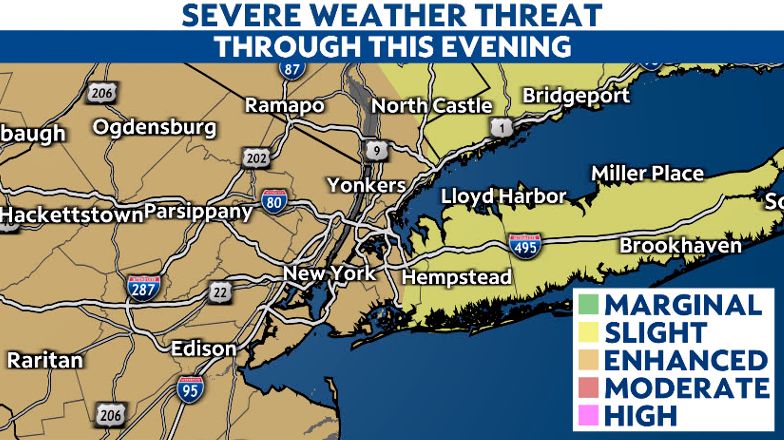
In general, the threat for damaging, straight-line winds remains the biggest threat, with gusts over 60 mph possible. Although storms could generate hail and even a weak tornado or two.
Regardless, strong winds alone could take down trees and power lines, resulting in numerous power outages. With this in mind, plan ahead of time. Charge up your phones and other necessary electronic devices, and make sure the batteries aren't dead in your flashlights.
While not rare, it is a bit unusual to see New York City put under an enhanced risk this time of year. Its proximity to the cooler waters of the Atlantic Ocean often stabilizes the surrounding atmosphere.
Thus, stronger storms that develop farther inland during the spring and early summer typically fizzle out as they move closer to the coast.
However, given the intensity of the front itself, along with the right ingredients and ample energy out ahead of it, this should be enough to keep storms strong as they move through the city.
In any case, all New Yorkers who have plans this evening will need to remain alert and pay close attention to the latest forecast.
Once storms move out later this evening, temperatures will take a tumble as strong winds out of the northwest pull cooler air back into the region overnight. Despite brighter skies on Sunday, it will be a breezy and crisp day, featuring highs barely hitting the 50-degree mark.
Our team of meteorologists dives deep into the science of weather and breaks down timely weather data and information. To view more weather and climate stories, check out our weather blogs section.