NEW YORK — Do you know where your snow boots and shovel are? It's looking like you'll need them soon. The first snow of the season is likely on Monday. It will be a close call to see if New York City gets a little or a lot.
Weather models are showing a storm tracking close enough to brush the city with snow. This system is expected to bring more than half a foot of snow to parts of southern New Jersey on Monday. And there's a concern that if the storm tracks further north, that the five boroughs could see more snow than forecast.
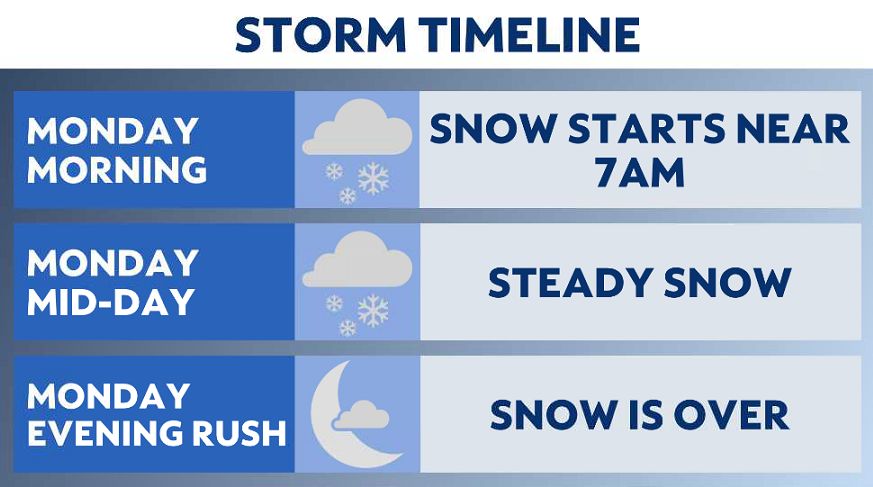
Right now, the forecast is for the five boroughs to receive 1 to 3 inches of snow. The flakes should start around 8 a.m. Monday and end by 3 p.m.
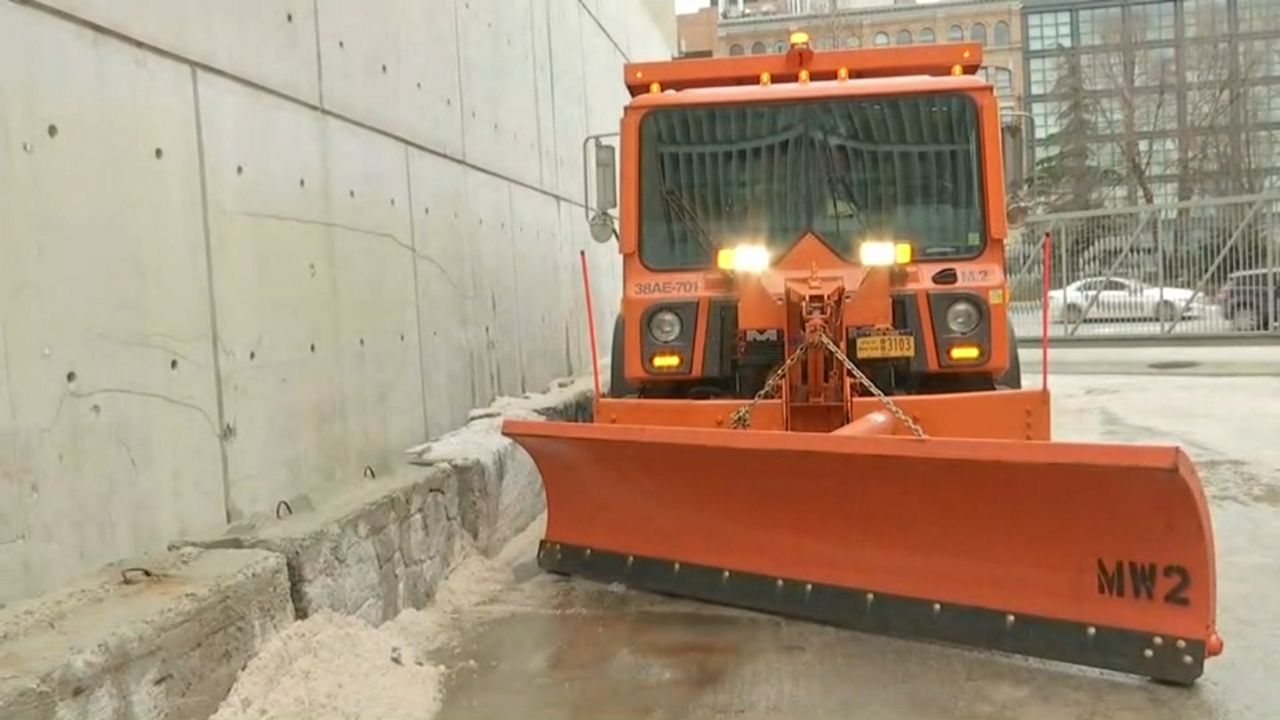
At a news briefing on Sunday, Mayor Eric Adams said the city's Department of Sanitation would begin salting streets Sunday night to prepare for the snowfall.
"We are ready to meet the storm head on," Adams said. The city's Emergency Management Department has issued a travel advisory urging New Yorkers to limit travel, take mass transit when possible and build in extra time for commuting. Slippery road conditions will be possible, the department said.
"We are definitely ready. We have been preparing for winter since last winter," Sanitation Commissioner Edward Grayson said at the briefing. "We have over 700 salt spreaders loaded and ready to go."
"If you see our spreaders and operators, please give us some extra space so we can do our job," he added. "We are committed, we are on duty, we are working all night, and we'll be out there."
New York City is located at the northern fringe of the storm. This is often called the "screw zone" by meteorologists because it's the most difficult area to forecast for. Often, the area gets no snow or double the amount that's forecast. A reasonable worst-case scenario for this event is for up to 4 to 6 inches of snow provided the storm's track shifts further north.
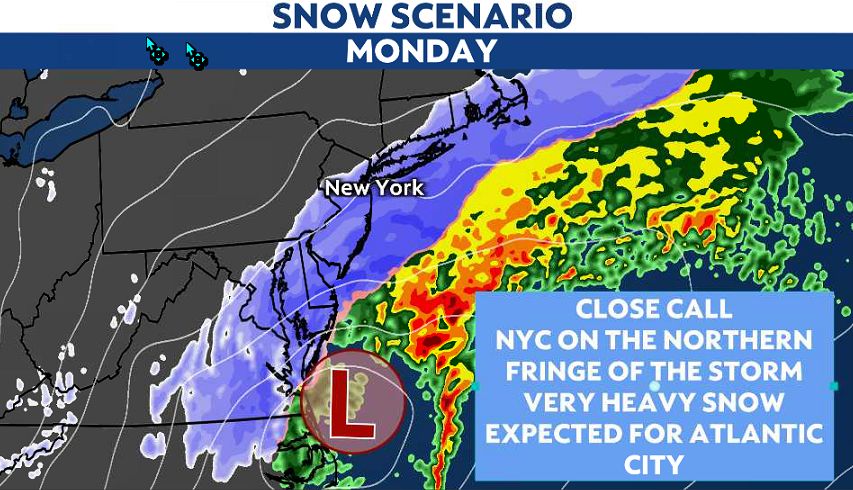
So on Monday, we're expecting light accumulations of 1 to 3 inches. This would mean wet and slippery streets and sidewalks. However, be prepared for more. If that’s the case, be prepared for travel trouble. That would take some time to clean up.
