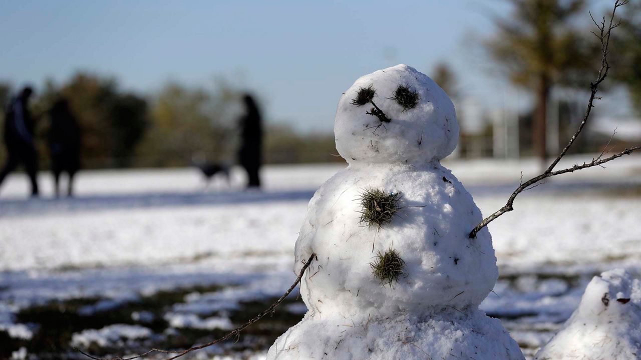
February brought brutal winter cold and storms to much of the United States.
A change is coming in March, and it's because of a strengthening polar vortex.
It sounds counterintuitive that a stronger polar vortex would bring warmer weather, but it's true.
The polar vortex is an area of low pressure and arctic air that typically sits near the North Pole. This phenomenon shifts its location during the winter months, bringing with it surges of cold air and snowstorms.
When the winds surrounding the polar vortex weaken, they form a wavy pattern. This pattern allows arctic air to expand.

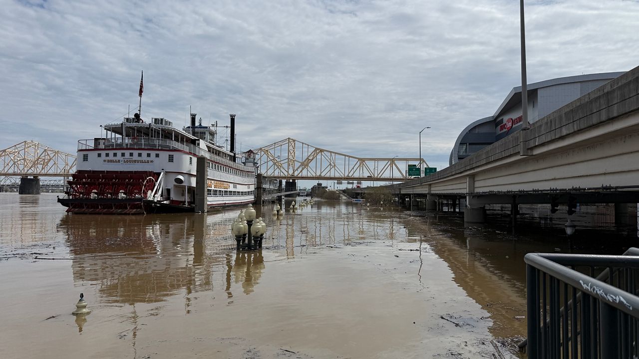
This is part of what happened in Texas when snow and bitter cold reached the Gulf Coast and caused many deaths and billions of dollars in damage.
This weak polar vortex pattern lasted most of February, but weather models show a change for March. We could see a strong polar vortex.

This will lock the arctic air in place and bring a warmup for the areas that froze in February.
Another way to think about a weak versus a strong polar vortex is to compare it to hugging a ball to your chest. Imagine the ball is arctic air. The stronger you hug the ball, the less the ball can move.
If you loosen your grip on the ball, it can slip, representing arctic air expanding southward.
The NOAA 8 to 10-day outlook shows above-normal temperatures from the Plains to the East Coast, so we should have an early start to spring.