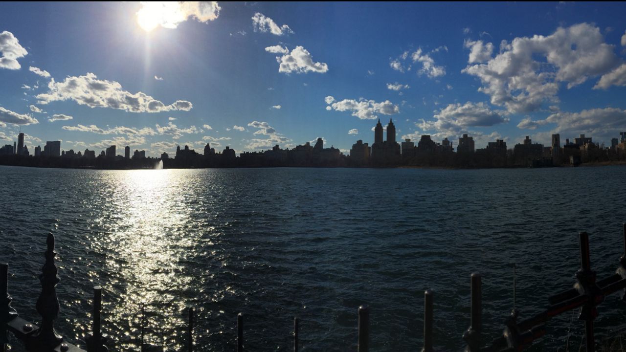
We had a warm first half of January, but will this trend last?
I doubt you've been wearing shorts and t-shirts this month, but for January in New York City, it's been mild. Check out the numbers. Through the first 19 days of the month, only two averaged below normal. Overall, January 2021 is running more than three degrees above the average and we haven't had any measurable snow.
We also had a string of 10 straight days above normal. The warmest day was January 2, when we hit 51 degrees.
January 5 to January 23 historically is the coldest time of year for New York City with an average high of 38 degrees and an average low of 28. Through January 19, we've only seen readings below freezing on five days. This is more typical of our average high temperatures in late February.
The reason for the above-normal temperatures has been a split jet stream. This has kept arctic air locked up near the North Pole and meant that we've been receiving Pacific air masses instead of polar air.
Will it last? The next two weeks look colder. The jet stream is shifting and we're going to feel temperatures that are closer to normal for this time of year. We'll see highs in the 30s and lows in the 20s.
So far, there's no sign of extreme cold or a visit from the polar vortex, but there's still time. Winter isn't even half over.


