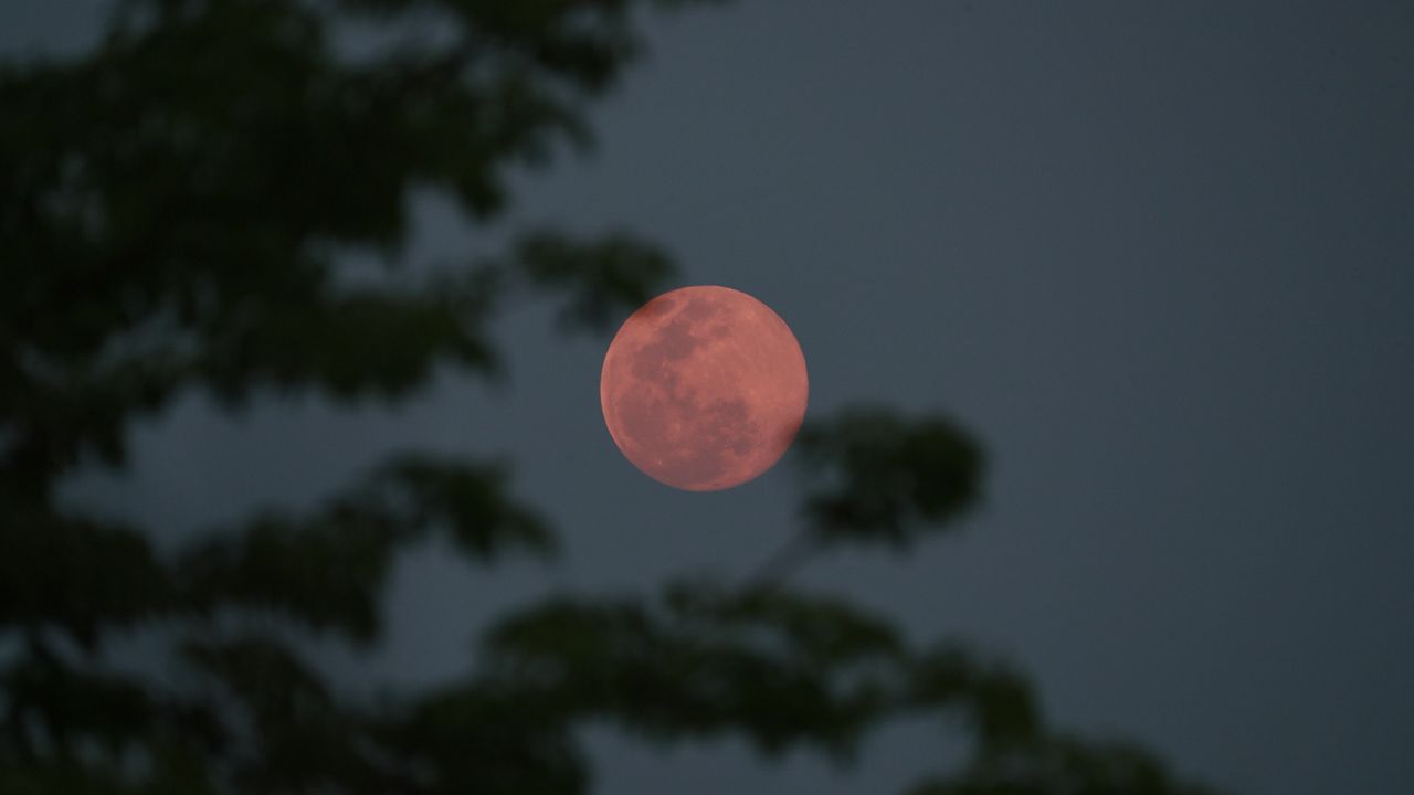
December weather in New York City brought big swings in temperatures and rounds of storms.
The month started off with wild winds. On December 1, strong southerly winds ahead of a cold front brought mild air but also very strong gusts. The top winds were near 60 mph and it caused the Verrazzano Bridge to close for a few hours. The high temperature was 62 degrees.
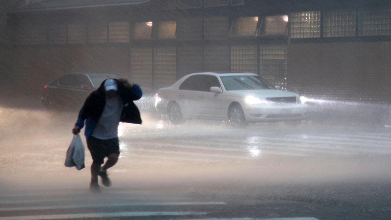
Nor'easters are common this time of year and we had a pair of them this month. On December 5, a strong area of low pressure tracked through the region. It brought heavy rain and strong winds. Rainfall in the five boroughs ranged from 1 to 2". There was local flooding on streets and highways.
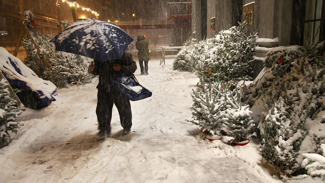
The most impactful event was our snowstorm in the middle of the month. On December 16 and 17, a nor'easter brought the city its greatest snowfall in 10 years. The official measurement at Central Park for the storm was 10.5". The top amount in the city was 12.8", which was recorded at the Bronx Zoo. This storm brought more than twice the snow we saw all of last winter.
This same storm system paralyzed parts of the Northeast with up to 40" of snowfall in the Binghamton area.
Following the winter storm, we had a cold streak. It lasted eight days, making for a cold Hanukkah. During that time, temperatures didn't warm out of the 30s. The coldest stretch of days was December 16-18 when temperatures barely got above freezing.
The month wasn't too cold though. We hit 60 degrees on two dates, December 1 and again on December 13. Overall, temperatures were slightly above average for the month.
A third major storm hit on Christmas Eve. It brought strong winds and heavy rains. The storm moved out on Christmas Day but left a cold blast in its wake. It was the first Christmas since 2017 with precipitation. The top wind with the storm was 67 mph and helped to create downed power lines and fallen trees.


