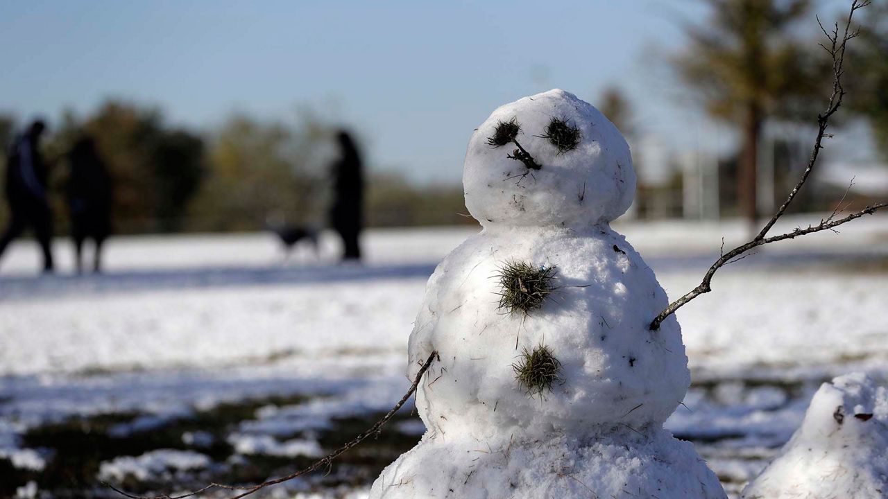
A La Niña advisory is in effect and NOAA says that there's an 85% chance that it will continue through the winter. That could mean a snowy winter for New York City.
What You Need To Know
- La Niña is when ocean temperatures in the Equatorial Pacific are unusually cold
- Last winter was the fourth-least snowiest for NYC with less than 5" of snow
- The average snowfall in La Niña winters for NYC is 39"
- The last La Niña winter was 2016-17
Most people have heard of El Niño, the pooling of warm water in the equatorial Pacific that can bring severe winter storms to California, but La Niña isn't as well known.
La Niña is the opposite of El Niño. The waters in the equatorial Pacific during La Niña are colder than normal due to stronger trade winds. This pool of cold water changes the jet stream and has worldwide impacts.
Long-range or seasonal forecasting is hard and not always accurate, but it is getting better. When we have a large-scale weather condition like El Niño or La Niña, we typically look at past events to try and forecast the future.
For La Niña, there are nine winters that we look at. They are 1973-74, 1975-76, 1983-1984, 1988-89, 1998-99, 2000-01, 2008-09, 2010-11, and 2016-17.
Scientifically, this is small sample size. It can be a guide to the trends for La Niña winters but it can't tell us exactly what to expect. Here's what the data show.
The strongest signals from La Niña are with temperature. On the whole, La Niña winters result in warmer-than-average winters in NYC and this is the official forecast from NOAA for this winter. Six out of the nine La Niña winters had above average temperatures and two of those winters ranked in the top 10 warmest.
The average winter temperature for NYC is 35.1 degrees. The average temperature for a La Niña winter in NYC is 35.9 degrees. With a warmer-than-average winter expected, you may think that would also mean a low snow year, but that might not be the case. Let's explore the snow stats for La Niña winters in NYC.
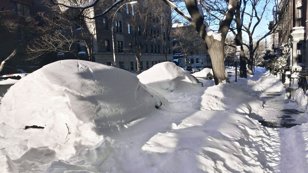
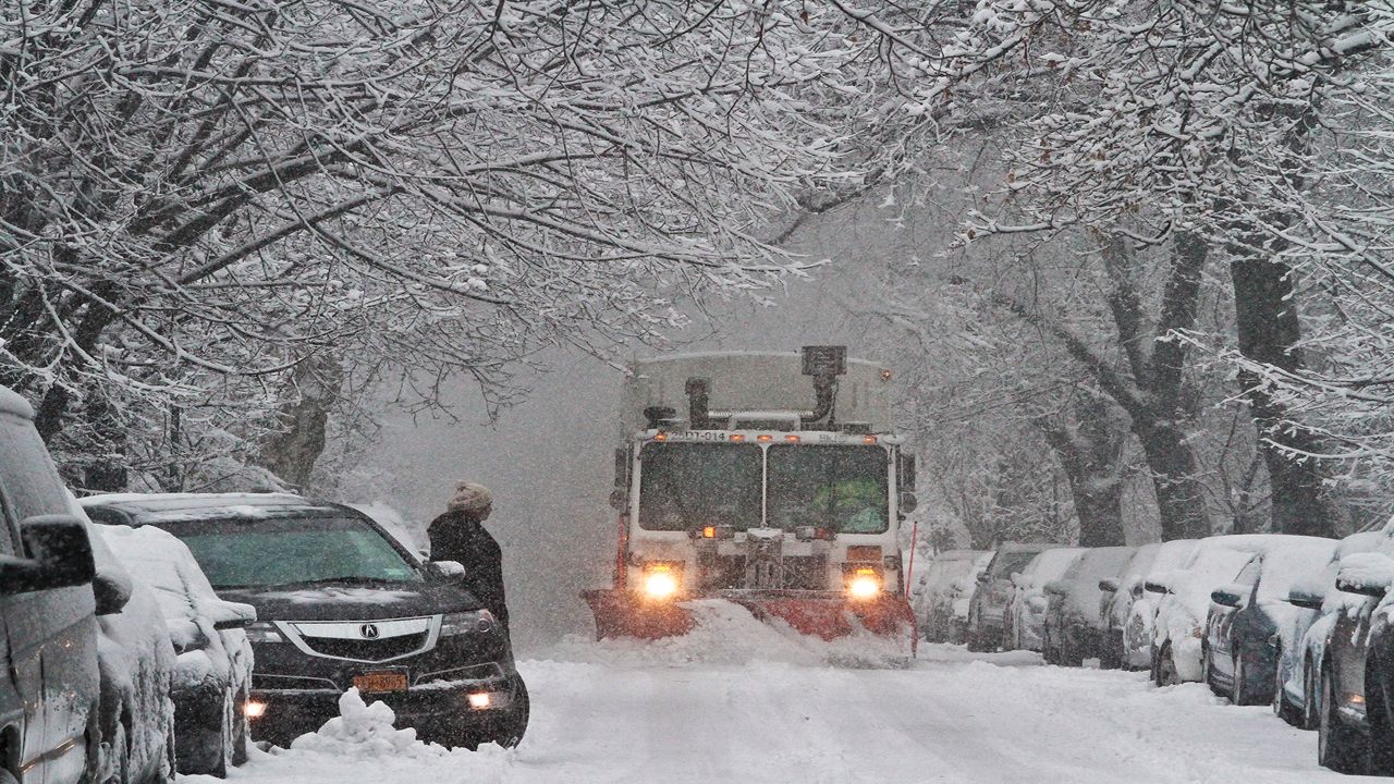
The snowfall numbers for La Niña winters may surprise you, but they also are a bit misleading. Last winter's snowfall in NYC was only 4.8". The average snowfall for NYC in a typical winter is 25.1". The average snowfall for La Niña winters is 39.2". On the surface, it seems like a closed case: La Niña equals a snowy winter for NYC.
When we look closer, though, we find that the small sample size can yield deceiving results. Five out of the nine winters in the study did result in above normal snowfall, but one winter was an anomaly.
In the winter of 2010-11, we had 63" of snow. That's the third-most for NYC. That winter skews the snowfall average greatly. If we eliminate the La Niña year with the most snow and the La Nina year with the least snow (8.1" in 1988-89), we get an adjusted average of 24.5".
After looking through the trends and data, we are seeing that there isn't a clear answer. A La Niña winter is a not clear indicator for a "bad" or "good" winter. There's no 1+1=2 relationship.
However, the trends are clear that, on average, La Niña winters are warmer than normal and that snowfall is typically near normal. What we don't know is if we'll have an outlier year like in the past, when we had record snowfall or record warmth. This case illustrates the limitations of long-range and seasonal forecasts.
We can tell the trends but we can't tell the precise future. This is similar to when forecasters come up with hurricane season forecasts in the spring. These are getting more accurate each year, but one thing we can't determine is where the storms will make landfall until they actually form.
So, for winter 2020-21 in NYC, it's a good bet that we'll have warmer than normal temperatures and it's almost a certainty that we'll have more snow than last year.
)