


A GPS signal will bend when it encounters changes in temperature and humidity in the Earth’s atmosphere. That bend is now used to collect specific weather data for parts of the planet where information couldn't be collected before.
The technique is called radio occultation. As a signal between a GPS satellite and a receiver crosses the Earth's atmosphere, the bend is used to determine a profile of the atmosphere, including temperature and humidity measurements.
For over a hundred years, weather information about temperature, pressure, and humidity was collected using a weather balloon. The balloon was released from land and instruments on board collected valuable data about the atmosphere overhead.
The problem was, and still is, that these measurements were only available wherever a balloon could be released. 75 percent of our planet is water and largely uninhabited. Radio occultation nicely fills that void in the data around the globe.
During the summers of 2003 to 2005, I was an intern with a project known as Constellation Observing System for Meteorology, Ionosphere and Climate (COSMIC) at the National Center for Atmospheric Research in Boulder, Colorado. That's a lot of words, I know!
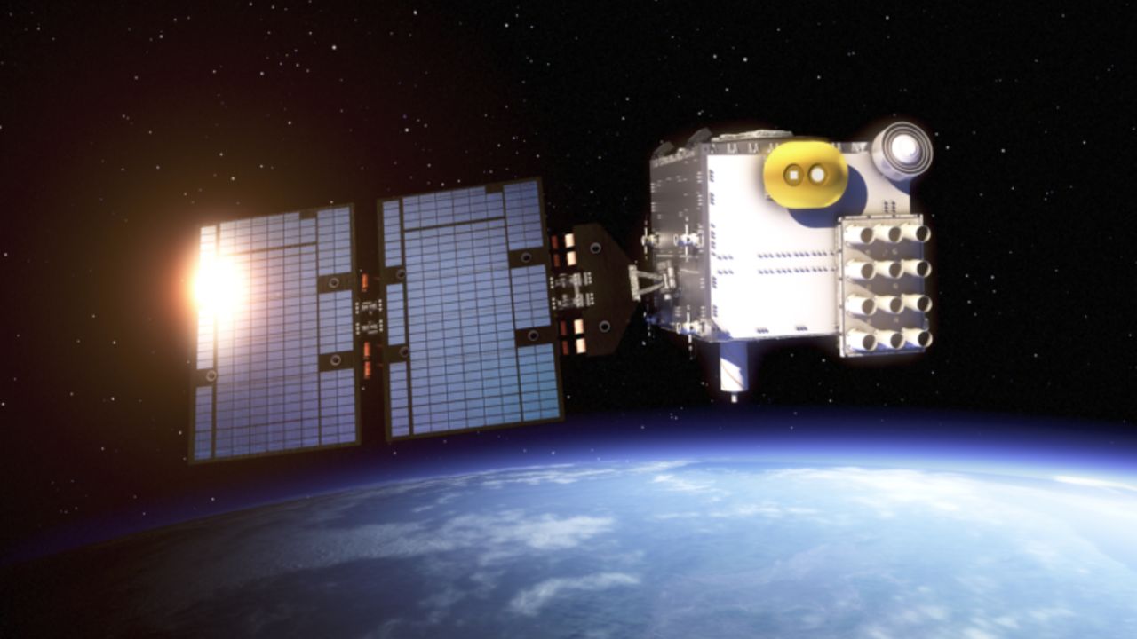
COSMIC was a joint effort between the United States and Taiwan to launch a group of low-earth orbit satellites to increase the amount of radio occultation data around the globe.

Since then, the technique has been refined and perfected with the launch of COSMIC II in summer 2019. These new satellites have joined existing satellites to significantly increase the available weather data, specifically about moisture over the oceans.

This summer, the new information has been used to help analyze the moisture around developing tropical systems during this very busy hurricane season.
Finally, we are able to get a clearer picture of atmospheric conditions that can cause a storm to rapidly strengthen or change track.


