


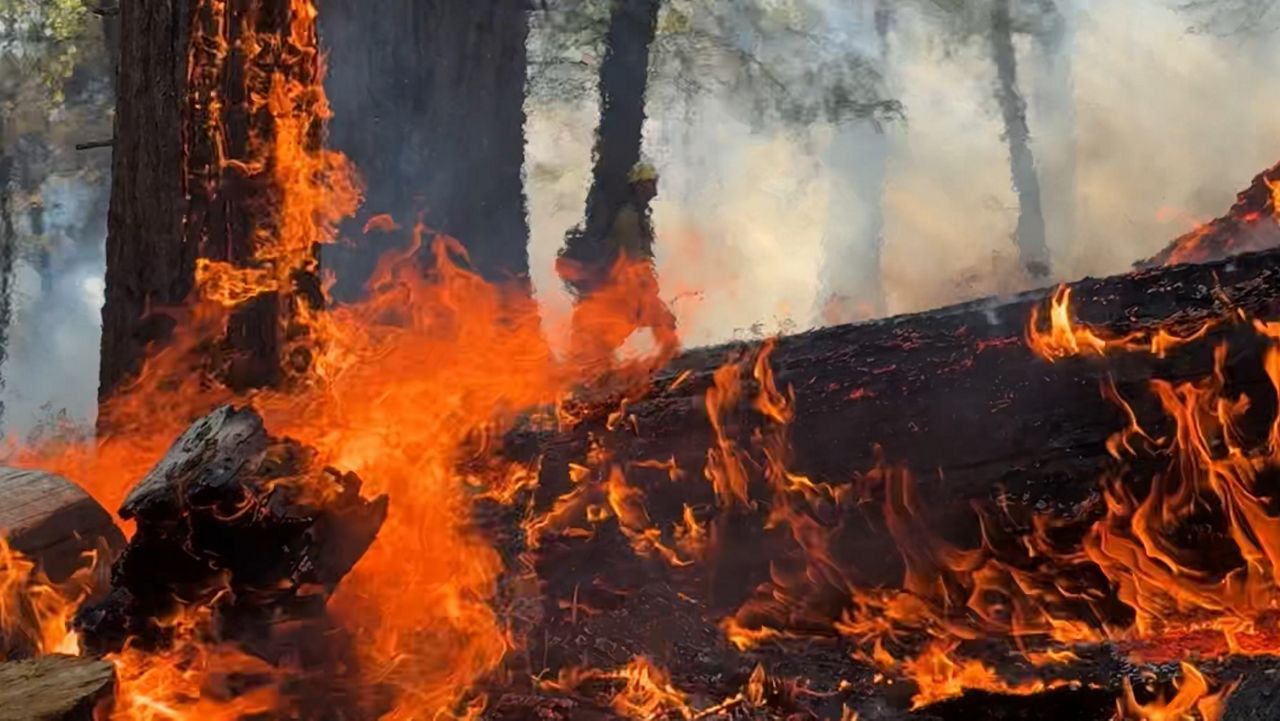
Extremely dry air in Texas, along with gusty winds, continues to create elevated to extreme fire danger across many regions.
The combination of low humidity, gusty winds, and critically dry fuels will put most of Texas under a Red Flag Fire Warning on Monday. Fire danger is highest along and west of the I-35 corridor and includes the cities of Dallas/Fort Worth, Waco, Austin and San Antonio all the way down to the LRGV.
Use extreme caution with any spark or flame; ANY ignition source could quickly produce an explosive, uncontrollable wildfire.
Residents in at-risk areas should be prepared to evacuate if ordered to do so. Know your evacuation routes and have a go bag ready with essentials; if evacuation is ordered, you may have only minutes to respond.
Otherwise, Monday starts cool with middle 40s in north Texas, upper 40s in central regions and 50s to the south. But by afternoon, most areas will see upper 70s to upper 80s – above normal for early March.
Tuesday brings warm temperatures but higher humidity and lighter winds. Wednesday will see another dry cold front sweeping south through Texas and another critical fire danger day is likely.

Click here for the latest 7 Day Forecast | Click here to share your weather photos