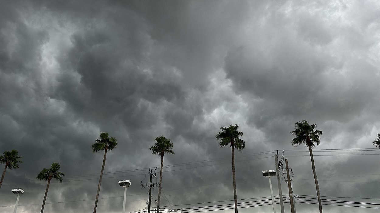
Afternoon storms will continue through the next several hours before winding down by midnight. Any storms that develop over the next several hours will favor the eastern coastline, and could pack a punch. One or two of the storms could produce gusty winds in excess of 40 mph, coin size hail and torrential downpours. While flooding isn't a major concern with our ongoing drought, any storms that linger over the same location could cause localize ponding on the roadways. We'll clear the skies by midnight as lows return to the mid and upper 60s overnight.
Drier air follows our passing front, bringing a sunnier - but still hot - Tuesday. Highs will reach into the lower 90s area wide on Tuesday with mostly sunny skies. A stray shower or storm are possible in the afternoon hours, but with the drier air aloft it'll make it tougher for the storms to form.
The heat continues all week long, but moisture values return to seasonable levels by mid to late week. This will allow for daily seabreeze storm chances through Friday. While the activity will be scattered at best, everyone will have a shot through Friday to pick up some much needed rainfall.
By this weekend, a very powerful low moving out of the Central U.S. will push it's way eastward. This will greatly increase our moisture and provide rainfall both Saturday and Sunday. Sadly, this rainfall could be quite widespread and while we desperately need a good drenching rain, it could ruin any outdoor plans you have for Mother's Day weekend. Keep updated on the forecast over the next few days, as we hone in on the exact timeframe of the rainfall, and how much we could get.
 |
Highs: Lower 90s Lows: Mid-Upper 60s Rain Coverage: 20% |
Check your hour-by-hour forecast here | Share your weather photos