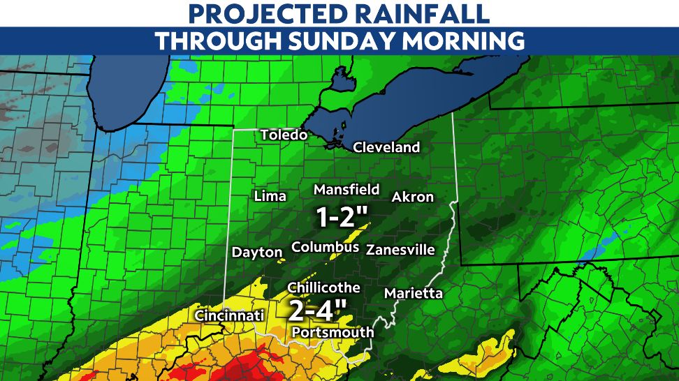
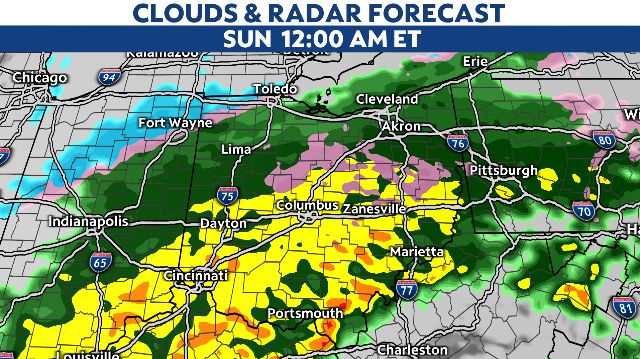
After a wintry start this morning, rain will fall across Ohio this evening and tonight. It will be widespread, and for those near and south of I-70, the rain will fall heavily. This is where flooding is possible, if not likely.
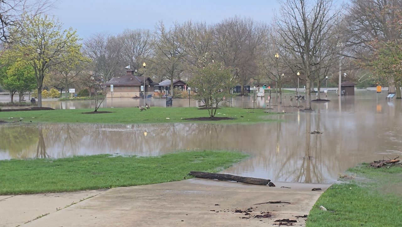
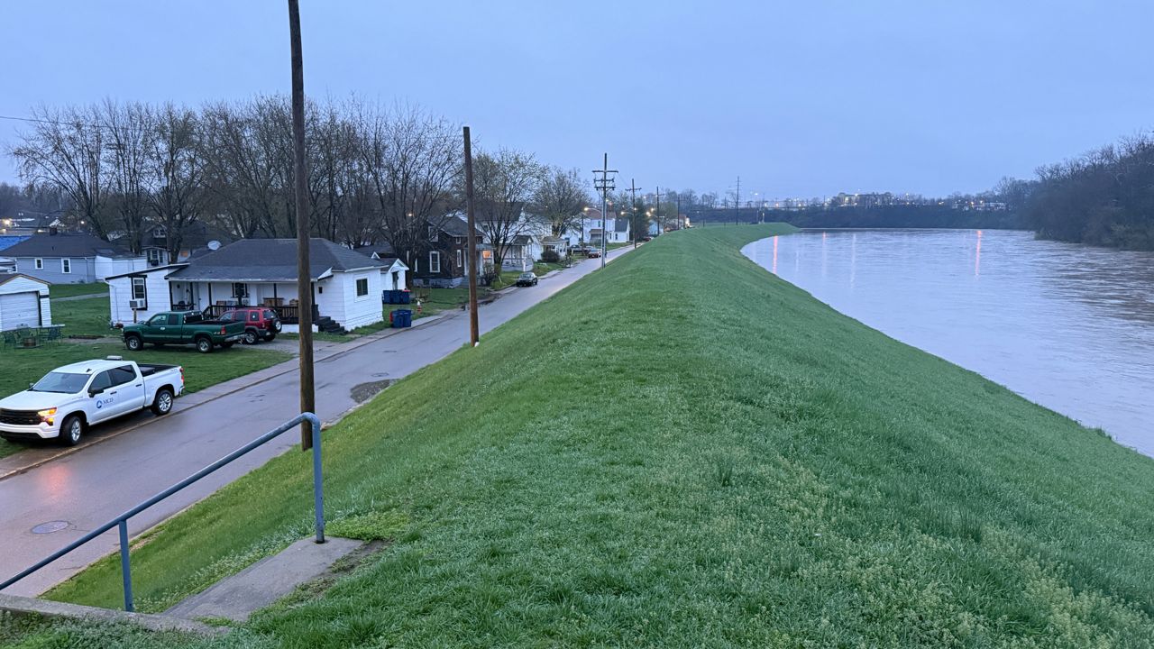
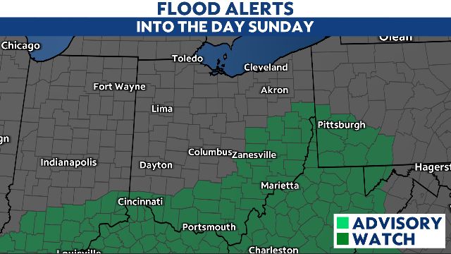
A Flood Watch remains in effect for southern and eastern Ohio, where heavy rainfall and flooding are most likely through Sunday morning.
Two to four inches of rain will fall in the counties under the Flood Watch. This is where rivers, creeks and streams will rise the most over the coming days.
Be prepared to get to higher ground if a Flash Flood Warning is issued. It's also important to never drive through a flooded roadway.
Colder air will move in from the northwest late tonight into Sunday morning, providing us with that changeover to a round/burst of snow.
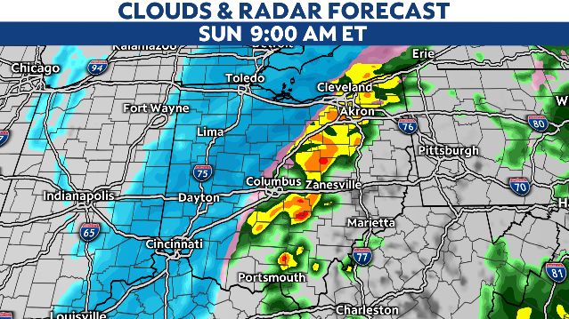
Be aware of snowy and slick roads as early as tonight in NW Ohio. That potential will increase for the rest of the state as we progress through Sunday morning.
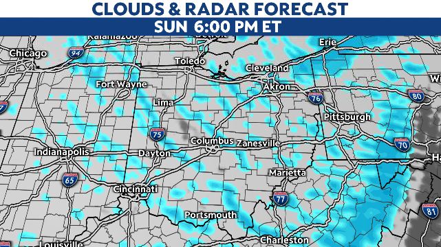
Additional on-and-off snow showers will be around Sunday afternoon and evening.
Total snowfall will generally be under 2" near and south of I-70. Some heavier totals are likely north of I-70, especially across NW Ohio and NE Ohio.
Depending on how fast the rain transitions to snow and how heavily it falls, snow totals of more than 4" are a distinct possibility from Toledo to Mansfield to Cleveland.
All snow shuts down by early Monday morning as a very cold air mass settles in behind our system Highs will be frigid in the teens and 20s all week with colder overnight lows.