


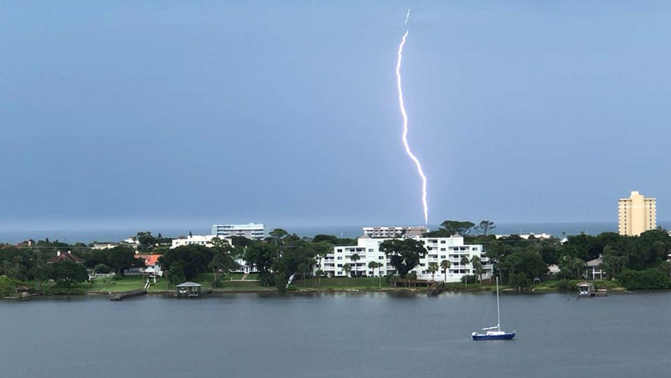
ORLANDO, Fla. — The active weather continued into the evening hours Sunday, with widespread rain and storms.
- Rain, storms likely overnight
- Lows in the mid 70s
- Send us your weather photos and get the latest forecast via the Spectrum News 13 app
- CURRENT CONDITIONS: Temperatures, heat indexes, trends
- SEE BELOW: See our 7-day forecast ▼
The activity will slowly wind down overnight, but showers are still likely across the area. Overnight lows will be in the low to mid 70s.
Monday also looks unsettled across Central Florida. The tropical moisture remains in place across the area, resulting in widespread showers and storms. Highs for Monday will be in the mid to upper 80s.
- View LIVE Interactive StormTracker 13 Radar Map
- View our LIVE Sky 13 Weather Cameras
- Sign up for Severe Weather Alerts
Lower rain chances return for midweek. Some slightly drier air will work into the area, resulting in lower coverage of showers and storms. Scattered activity will still develop both Tuesday and Wednesday, with highs in the upper 80s and low 90s.
The active weather pattern continues into Thursday and Friday. Scattered showers and storms will once again develop each afternoon and evening. Temps for Thursday and Friday will be in the low 90s.
Slightly lower rain chances arrive for next weekend. Winds will begin to shift to the east, which will push the highest rain chances to the west coast. Highs for the weekend will hold in the low 90s.
TROPICAL UPDATE
We’re closing the weekend with more quiet weather in the tropics. No major activity is expected in the Gulf, the Caribbean or the open waters of the Atlantic over the next 5 days..

We want your pictures!
Show us what the weather looks like in your neighborhood. Your photo could end up on Spectrum News 13.
- Get the Spectrum News 13 app for iOS or Android
- Tap "Submit Content" at the bottom of the app menu
- Remember to include your name and location