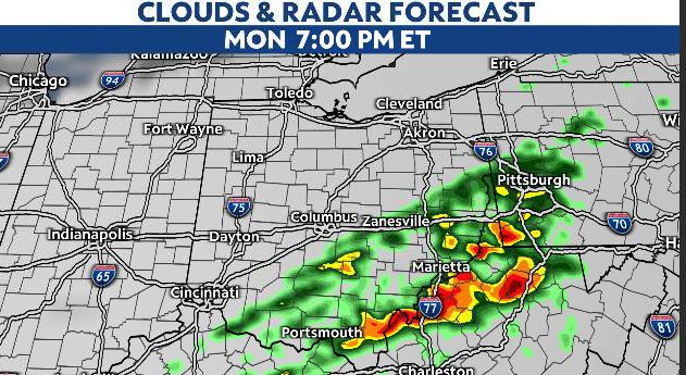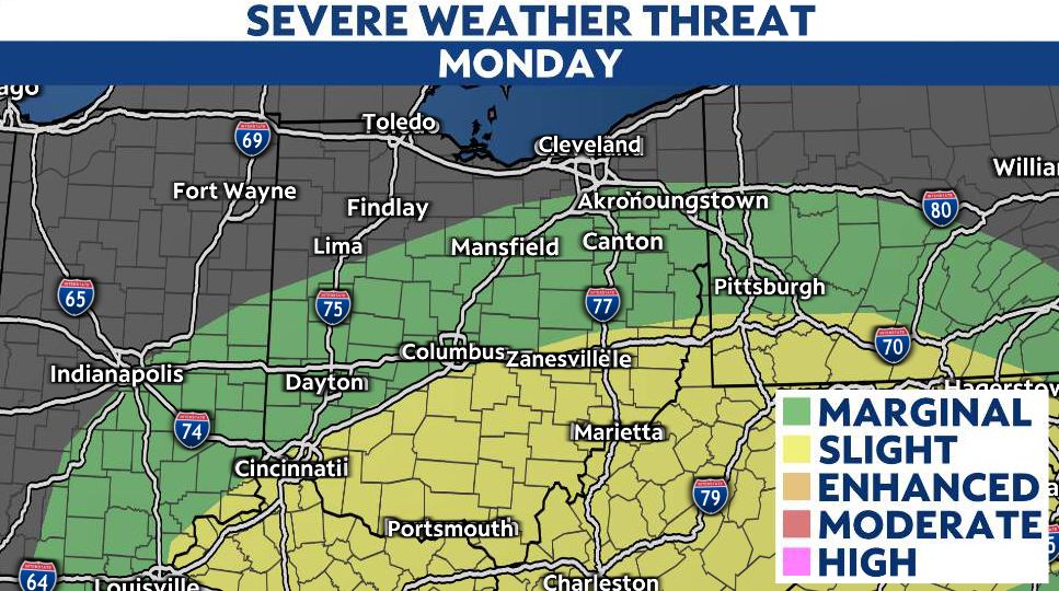
OHIO — A cold front moving in late Monday will bring a chance for strong to severe storms, especially to southern Ohio.
Areas south of I-70 and east of I-71 will be at the most likely threat from about 4 pm. until 10 p.m. for damaging winds and hail. Near the Ohio River, an isolated tornado cannot be completely ruled out.
Behind this front plan on cooler temperatures tomorrow, with highs in the 40s north and 50s south.