EDITOR'S NOTE: Multimedia journalist Tara Lynn Wagner broke down Los Angeles County's updated fire hazard zones and why updates were necessary in certain fire-prone areas. Click the arrow above to watch the video.
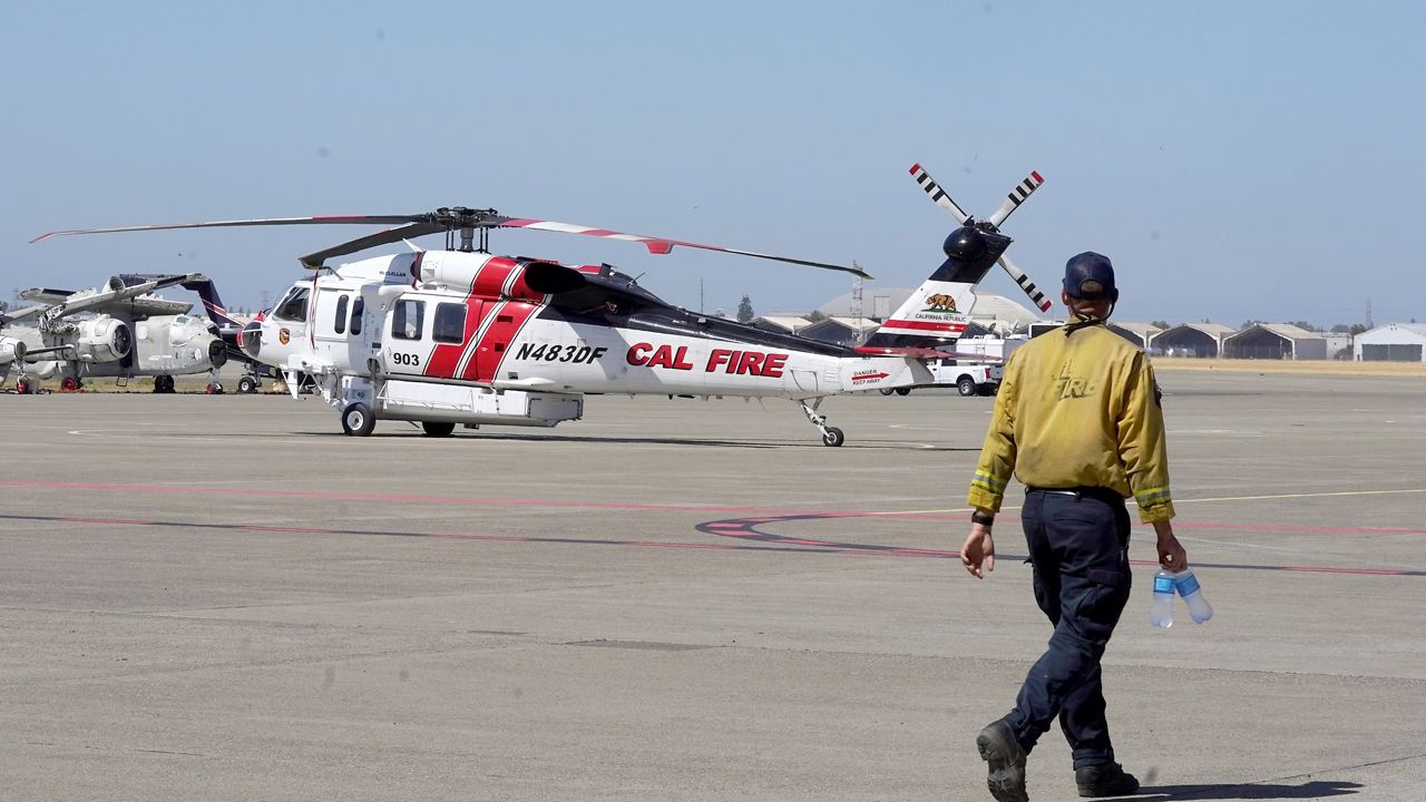
LOS ANGELES — Cal Fire released updated Fire Hazard Severity Zone maps for Los Angeles County Monday, using various criteria to identify wildfire hazard areas and ranking them on a three-tiered scale.
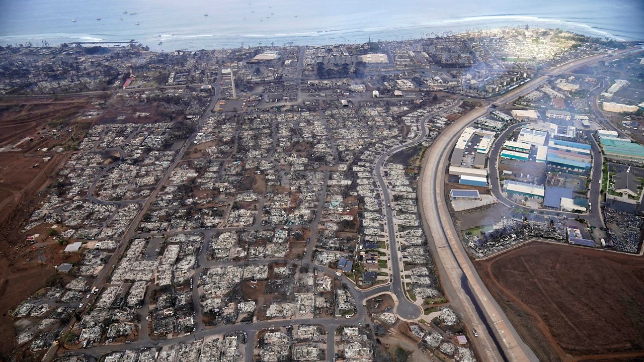
The maps, generally updated every decade, can impact building and clearance requirements in areas deemed to be in particular hazard areas.
According to Cal Fire, the determination of "hazard" is based "on the physical conditions that create a likelihood and expected fire behavior over a 30- to 50-year period, without considering mitigation measures such as home hardening, recent wildfire or fuel reduction efforts."
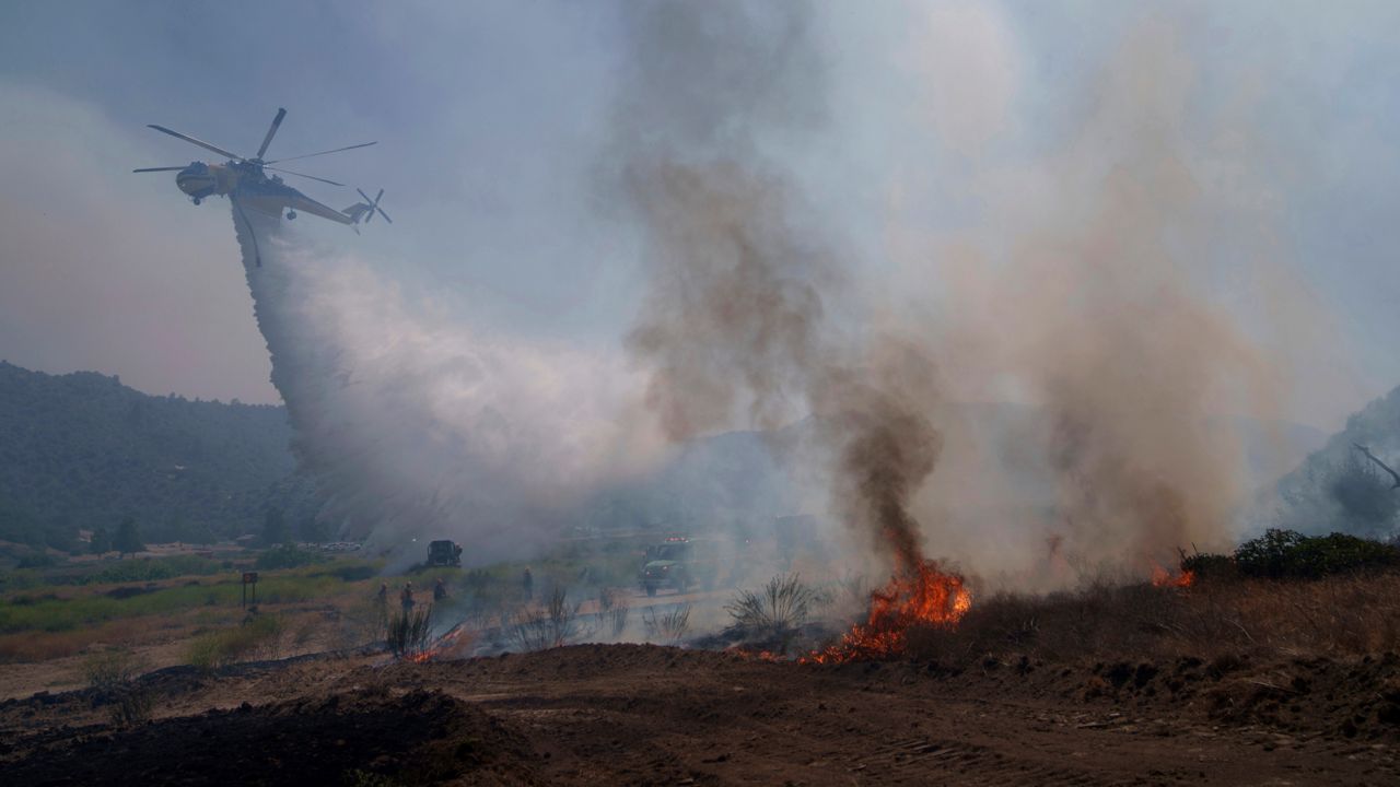
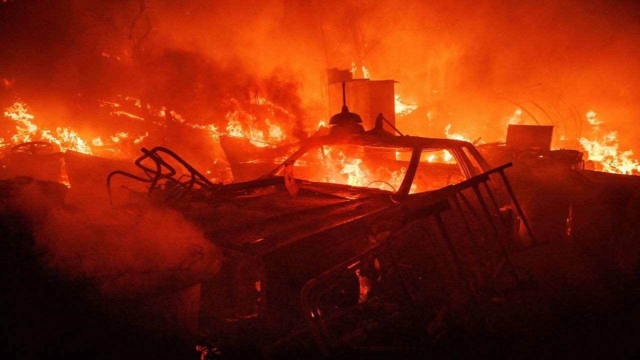
Identified hazard zones are divided into three levels — moderate, high and very high. The determination is made based on a variety of factors, including terrain, fire history, weather patterns and the presence of fire fuels such as thick vegetation.
Once the hazard zone maps are released by the state, local jurisdictions can adopt them or amend them by increasing the hazard level for particular areas. Local jurisdictions can not reduce the hazard levels from those recommended by the state.
According to the Los Angeles County Fire Department, the agency is not recommending any additions or increases in the Cal Fire hazard zone map. The agency noted that the updated maps likely mean an increase in the number of local parcels falling within hazard zones.
"These changes may influence building and vegetation management requirements for properties located within newly classified fire hazard zones," according to LACoFD.
The Los Angeles County Board of Supervisors must act within 120 days to adopt the maps, which are used to guide land-use decisions and building standards. The county is expected to schedule public hearings for people to comment on the proposed maps, but specific dates have not yet been determined.
The maps and more information about them are available online.