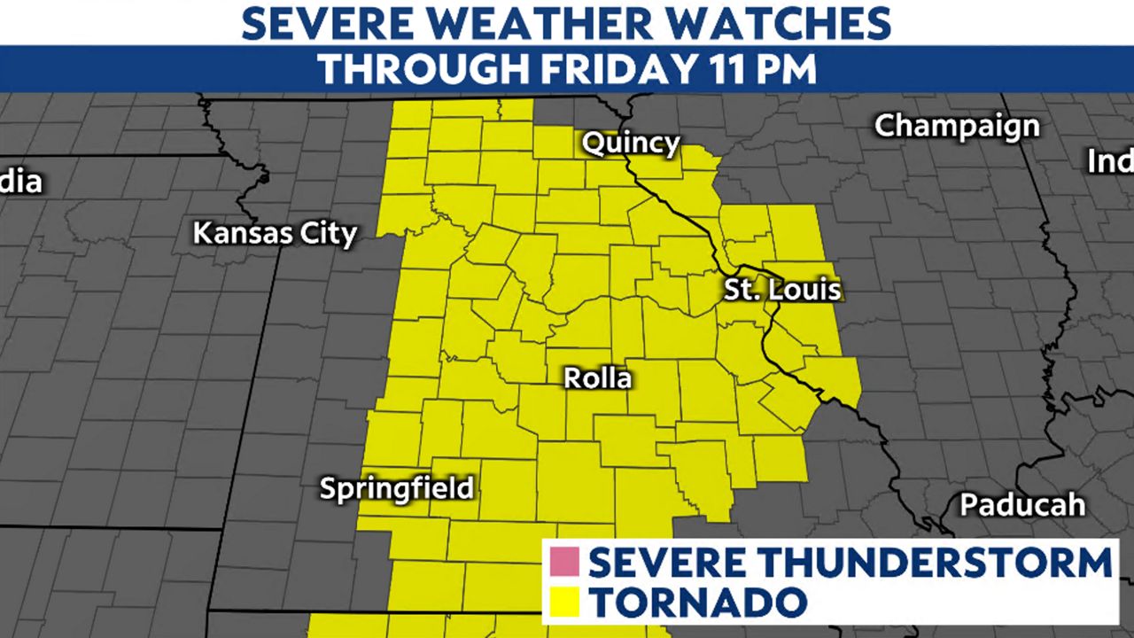
A large cold front will cross the St. Louis region Friday evening, producing thunderstorms. Some of those storms could become severe, producing damaging winds and tornadoes.
We may still be more than a week away from the official start to spring, but spring-time thunderstorms are this evening. With such a large storm system, widespread rain and severe thunderstorms are likely.
A large weather system advancing east off of the Rockies emerged off of the Plains this morning. This disturbance has strengthened, you might have noticed the gusty winds. Gusts have been reported close to 60 mph in St. Charles. A Wind Advisory remains in effect until 1 a.m. Saturday.
Although the air has been dry, moisture is surging in, ahead of the storms. It's this moisture that will enhance the storms, bringing the tornado threat.
The Storm Prediction Center issued a threat level of 4/5 for the St. Louis area on Friday. This does not happen often, in fact, the last time the area was under a level 4 threat was back on March 31, 2023.
Kevin Deitsch, Warning Coordination Meteorologist at the St. Louis National Weather Service said, "Our expectations are that we could see storms similar to the ones that produced the Good Friday Tornado in St. Louis in 2011, the Jefferson City tornado in 2019, and the Edwardsville/Defiance tornadoes in 2021."
Emphasizing, "This is a life threatening situation. We are mostly concerned with the timing on a Friday evening where many fish frys, sporting activities, and other gatherings are ongoing in large, commercial structures where roofs can easily fail."
A Tornado Watch is in effect through 11 p.m.
Damaging winds, gusts up to 90 mph and tornadoes are the primary threats, but golf ball-sized hail can't be ruled out.
The timing of the storms looks to be during the evening hours. After 8 p.m. through about midnigth. Be sure your weather notifications are enabled.
The rain will end in the metro around 1 a.m. but the colder air will lag for another day. Saturday will feature mostly cloudy skies and temperatures near 70 degrees.
A second cold front will push through later in the day on Saturday. This front will bring colder air in its wake, dropping highs on Sunday to the lower 50s as sunshine returns for the afternoon.
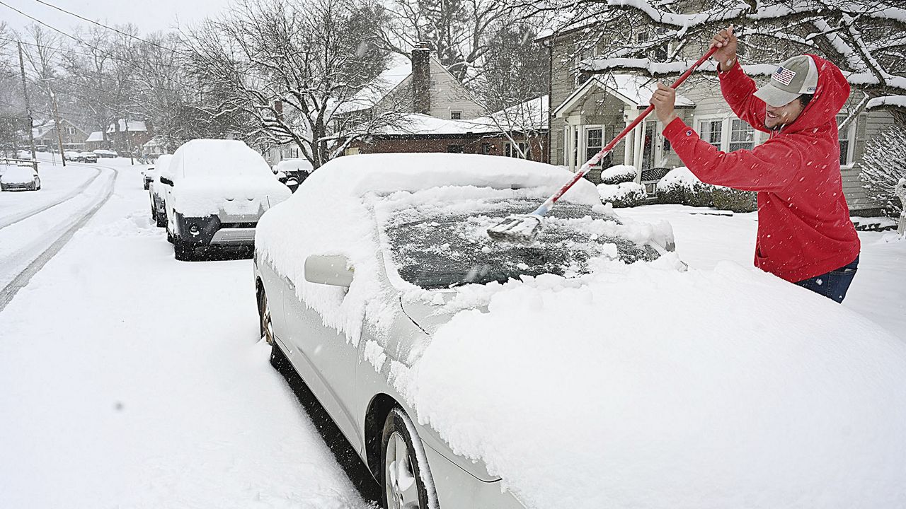
Submit your weather photos here.
Our team of meteorologists dives deep into the science of weather and breaks down timely weather data and information. To view more weather and climate stories, check out our weather blogs section.