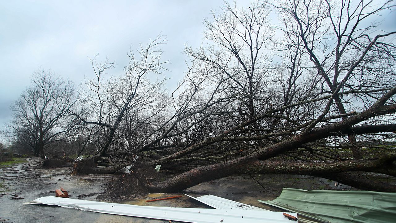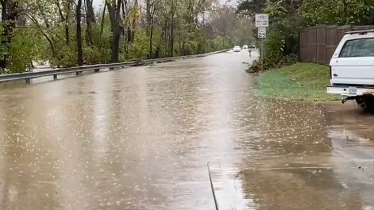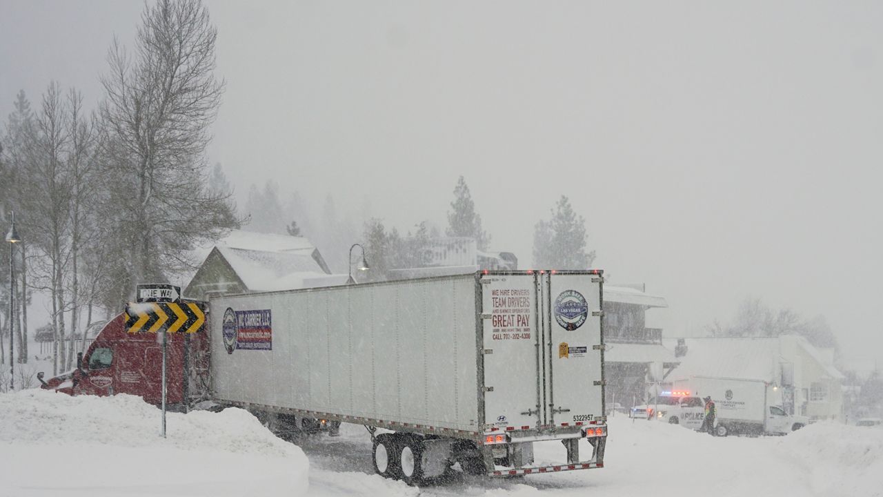
Another winter storm continues dumping more accumulating snow over the bluegrass state.
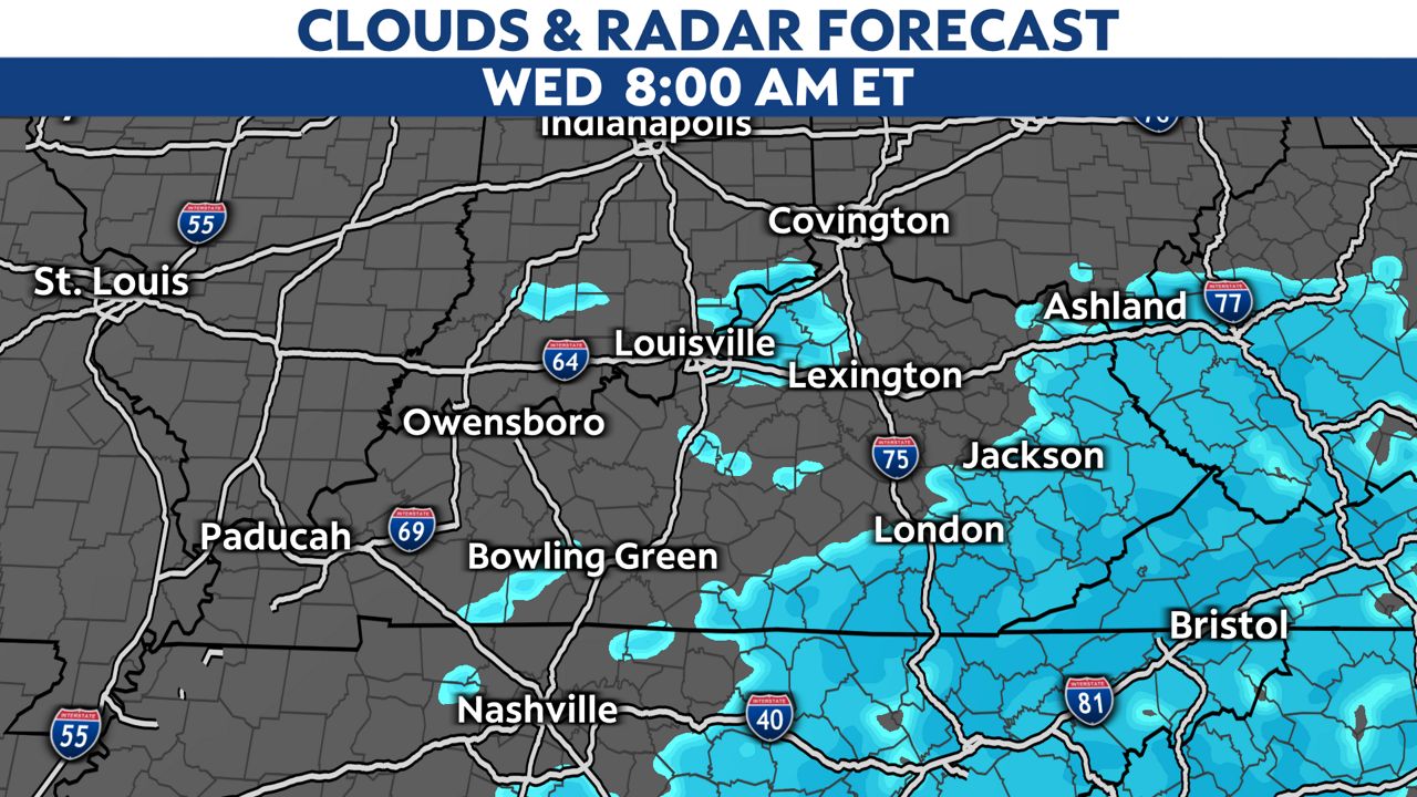
There are winter storm warnings and winter weather advisories out for most of the area through Noon today.
)
Snow will taper off during the second half of the Wednesday morning commute, but the roads will likely be snow covered. Please use caution if traveling early, as roads will be slick and hazardous.
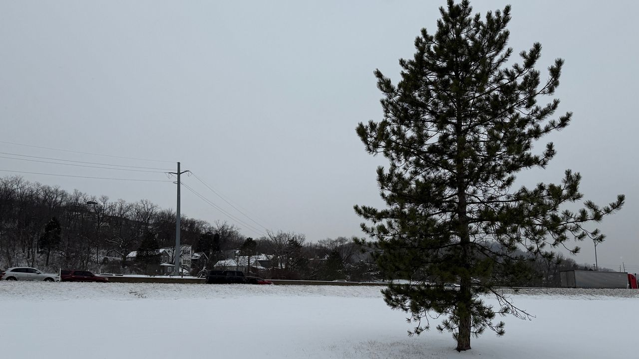
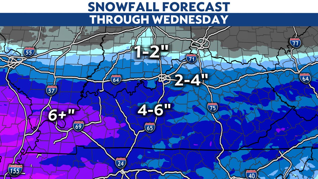
Here's a look at these expected snowfall amounts for the storm. Some spots could pick up four to six inches of snow. Even higher totals are possible in western Kentucky.
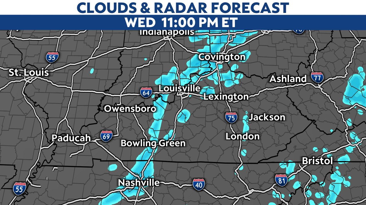
Wednesday afternoon looks drier, but we could see one more chance for snow Wednesday night. This could produce a light dusting up to one inch of additional snow in spots.
We finally dry out Thursday into the weekend. It's very cold through Thursday, but temperatures will jump above freezing heading into the weekend.
Our team of meteorologists dives deep into the science of weather and breaks down timely weather data and information. To view more weather and climate stories, check out our weather blogs section.