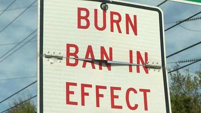
Mandatory evacuation orders and a statewide burn ban remain in place as crews in Polk County continue to battle a series of wildfires. The fires have spread into Henderson County, where a state of emergency is in effect.
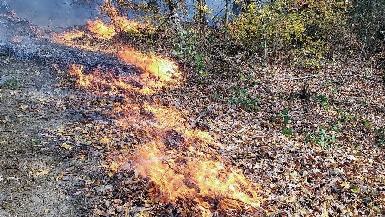
Three fires in the counties south of Asheville have already burned through more than 6,400 acres and left one firefighter hurt.
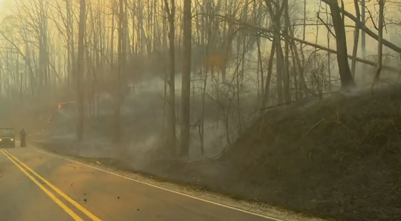
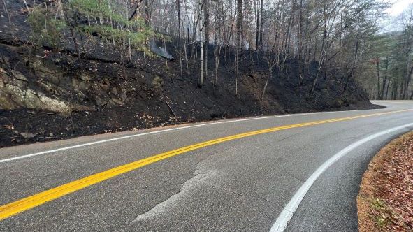
Firefighters were using planes and helicopters to battle the blazes, but faced challenges from dry weather, rough terrain and debris left by flooding caused by Hurricane Helene almost six months ago, the North Carolina Forest Service said.
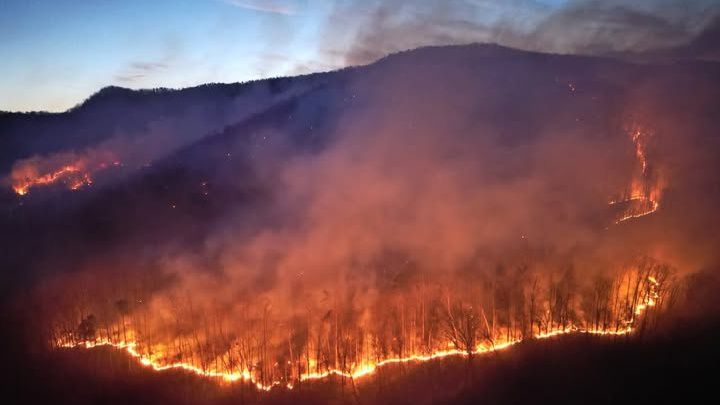
The Black Cove Fire, which was burning on over 3,000 acres in Polk and Henderson counties Wednesday, was considered the highest priority fire in the United States, the Forest Service said Wednesday evening.
Polk County Emergency Management issued a warning for an immediate evacuation Wednesday afternoon for 3155-6159 Holbert Cove Road, Coyote Ridge and Sam's Gap Lane.
Officials said visibility will be reduced and roads and evacuation routes could become blocked. "If you do not leave now, you could be trapped or injured. If you are unable to evacuate, call 911," officials said in a release.
Fires were reported in other western North Carolina counties on Wednesday: a 1,000-acre fire prompted evacuation orders in Swain County, a 20-acre blaze was reported in Jackson County, a 50-acre fire was active in Buncombe County and a 75-acre fire was burning in Haywood County, according to the forest service's fire-tracking website.
A new fire on Wednesday forced evacuations in Rutherfordton, about 20 miles east of the other fires, before it was brought under control. Five acres were burned.
The mountains of Polk and Henderson counties were under a Red Flag Warning issued by the National Weather Service for severe fire risk.
Smoke from the wildfires caused the North Carolina Department of Environmental Quality to forecast Code Purple air quality for Transylvania County; Code Red for Henderson, Swain and Polk counties; and Code Orange for for Rutherford County. Code Purple is deemed very unhealthy air quality, Code Red indicates prolonged exposure is unhealthy, and Code Orange is considered unhealthy for vulnerable groups.
Henderson County on Wednesday was under a state of emergency. "This state of emergency ensures that Henderson County has the necessary resources in place to respond to the potential impacts from the wildfires that originated from Polk County," officials said.
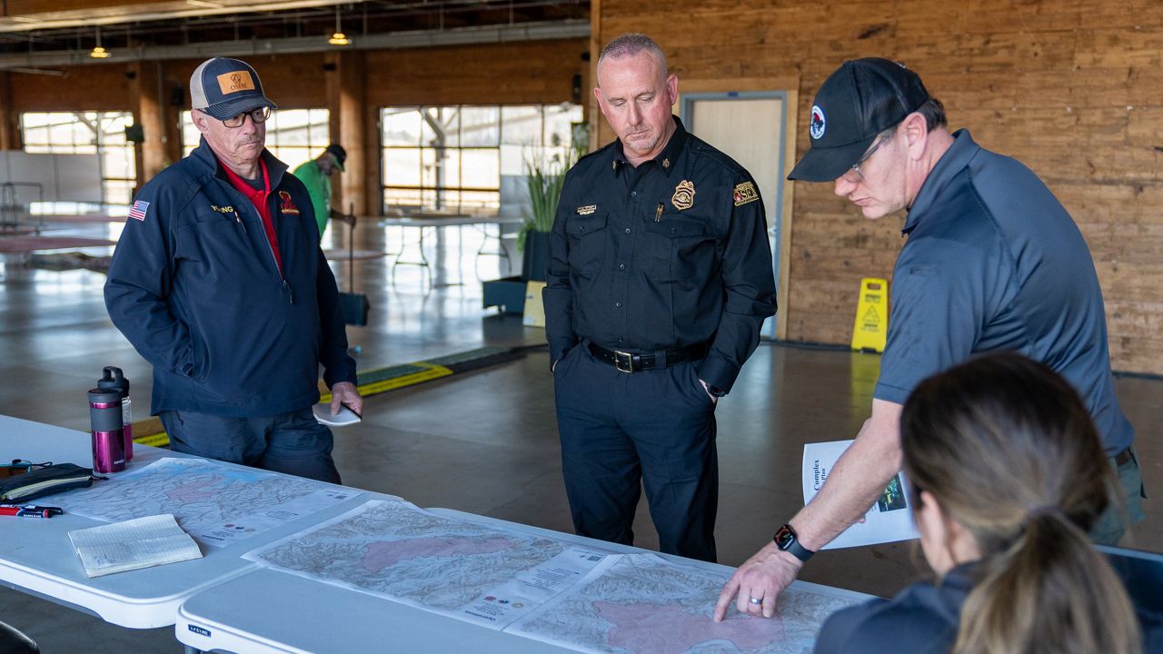
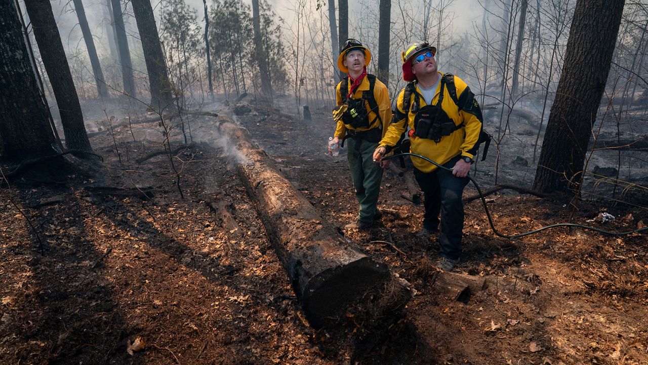
The Forest Service said Wednesday that 303 personnel from across North Carolina and other states have responded to Black Cove Complex Fire.
The N.C. Emergency Management division is assisting in Polk County with communications, personnel and the N.C. Helo-Aquatic Rescue Team, which includes a Black Hawk helicopter that can perform rescues if firefighters need to be evacuated.
During a meeting Tuesday evening, that team was deployed, according to a post on X by Emergency Management, to rescue a firefighter who was trapped under a fallen tree. The N.C. Forest Service said Wednesday the firefighter was airlifted to a hospital in Spartanburg, South Carolina, and is in stable condition.
Emergency officials have expanded mandatory evacuation zones around the fires and have warned other residents in the area to be ready to evacuate. People near the fires can check a new interactive map, also found below, to see what zone they are in.
Polk County officials said late Saturday that residents of the Lake Adger subdivision could return after an evacuation order was lifted but added that other such orders remained in effect.
Residents along Lady Slipper Trail, Green River Cove Road, Big Hungry Road, Spurgeon Cove Lane, English Heifer Cove Road, Deer Trail and Scarlets Mountain Road are under mandatory evacuation, according to officials with N.C. Forest Service.
A shelter is open for impacted residents at 75 Carmel Lane in Columbus.
Monday's rain gave little help to the firefighting efforts as gusty winds and low relative humidity caused the moisture to evaporate quickly.
The Forest Service said Wednesday that a Red Flag Warning has been issued for the mountains of Polk and Henderson counties. This means "the potential for severe fire behavior and the possibility of rapid fire spread," its website stated.
The Fish Hook Fire, near Lake Adger, on Green River Cove Road started due to a downed power line and had burned more than 199 acres as of Tuesday morning, according to the N.C. Forest Service. The fire was 86% contained as of Wednesday evening.
It has claimed three homes and one outbuilding so far, officials said.
The Deep Woods Fire on Piney Mountain Road had burned more than 3,200 acres as of Wednesday evening, with 11% containment, according to the Forest Service. This fire has claimed one building, with another damaged, and destroyed three outbuildings, Polk County officials said.
The Black Cove Fire, which started off Green River Cove Road, was at more than 3,000 acres with 17% containment as of Wednesday evening, according to the Forest Service. The fire had spread west across the Green River and into Henderson County.
According to officials, seven homes and seven outbuildings have been destroyed by the fire. One home has suffered significant damage.
"You should take your family, pets and necessary items, including medications and important papers and evacuate now if you are in a Level III area," emergency management officials said as they warned of evacuations on social media.
Officials said so far, roughly 165 homes have been evacuated in the areas of the Black Cove and Deep Woods fires.
"Check in with your local Red Cross shelter (even if you don’t intend to stay there). Check in with them and let them know where you will be in case your family is looking for you," officials said.
“To prevent the fire from spreading into neighborhoods and inhabited areas to the west of the fire, firefighting personnel are constructing control lines on both sides of the river,” Forest Service officials said Sunday evening.
The Forest Service said a temporary flight restriction is also in place daily from the surface up to 5,500 feet to ensure firefighting aircraft can conduct operations without obstruction from drones and other low-flying aircraft.