


Clouds continue to fill in Friday as a cold front approaches from the west. A few sprinkles will be possible across the Charlotte-metro Friday with a chance for scattered showers in the mountains. Highs will be warmer in the mid 60s under mostly cloudy skies.
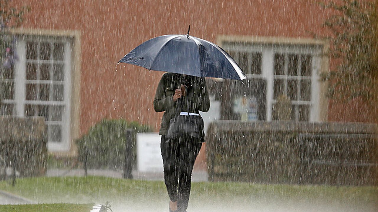
Most should be okay for Friday evening plans, but rain chances ramp up late Friday night and into Saturday morning. Saturday will feature a fairly wet day, with showers through the morning and afternoon then some heavier rain set to move through Saturday evening. In fact, we have a small risk of localized flooding across the area as we could see amounts of up to 1" to 1.5" as this system moves through. Look for quickly clearing conditions heading into Sunday morning with some upslope rain and snow showers possible in the mountains to start the day Sunday.
Sunshine returns for the end of the weekend with mainly dry conditions set to persist through Thanksgiving!